
Kaçkar Mountains Traverse hiking guide: route map, stages & where to stay
The classic trek across Turkey's Kaçkar Mountains: about 34 km from Olgunlar (Artvin) to Dilberdüzü, base camp for Kaçkar Dağı (3,937 m), then over the Naletleme pass to Yukarı Kavrun and Ayder (Rize). 4 to 6 days, with village pensions at both ends and camping in between.
Best time to hike the Kaçkar Mountains Traverse →

Photo: Kadir KARA, CC BY-SA 4.0, cropped
The Kaçkar Mountains traverse is the best-known trek in Turkey's Kaçkar Mountains (Kaçkar Dağları), the granite range that rises to almost 4,000 m behind the eastern Black Sea coast. It crosses the main ridge from Olgunlar, the last hamlet of the Barhal valley on the dry Çoruh side in Artvin, to Ayder, the spa village on the green, misty Rize side. On the way it passes Dilberdüzü, the base camp for Kaçkar Dağı (3,937 m), the highest summit in the range, and crosses the Naletleme pass at about 3,200 m. There are no mountain huts: you sleep in village pensions at each end and camp in between. Most of the route lies in Kaçkar Dağları National Park.
The route
From Olgunlar (about 2,150 m) a clear path climbs the valley past the Nastaf meadows to Dilberdüzü, a grassy camp at about 2,900 m below the rock walls of Kaçkar Dağı. Most trekkers spend the next day on the summit, going up past Deniz Gölü, a lake at roughly 3,350 m, then over loose rock and scree. This southern route is the easiest and the one guided groups use, but it is a long day: about 5 km and 1,000 m of ascent each way, 8 to 10 hours there and back. The summit is not part of the line in this guide.
From Dilberdüzü a high path traverses north over a shoulder at about 3,150 m into the upper Düpedüz basin and climbs to the Naletleme pass (Naletleme Geçidi). On the far side it drops past the Kavrun lakes (Büyük and Küçük Deniz Gölü) to the summer village of Yukarı Kavrun. The last day follows the Kavrun valley track down through Aşağı Kavrun and the Galer meadows to Ayder.
The line is about 34 km long and is split into 3 stages, about 11.4 km each, plus the summit day. It climbs about 1,750 m and descends about 2,650 m; with the summit, add another 1,000 m up and down.
Highlights
- Dilberdüzü: a high camp with cold springs under the highest summit of the range
- Kaçkar Dağı and Deniz Gölü: a lake in a rocky cirque, then a summit view over glaciers and ridges running down to the Black Sea
- The Naletleme pass and the Kavrun lakes: the crossing from the dry south side to the green north side, with glacial lakes below the pass
- Yukarı Kavrun: a summer village of stone and wooden houses, busy with families in July and August
- Ayder: wooden chalets, waterfalls and a hot spring at the end
When to walk the Kaçkar Mountains traverse
The season is June to September, and the safest months are July and August. In June and often into early July snow lies on the Naletleme pass and on the summit route, so you need an ice axe and possibly crampons. Yayla pensions and tea houses open roughly from June to September. The Black Sea side is famous for fog: clear mornings often turn grey by midday, so start early. Ayder is very busy at weekends and during the Bayram holidays, and full around the Kaçkar by UTMB trail race in mid-September (11 to 13 September in 2026).
How many days do you need?
Allow 4 walking days: Olgunlar to Dilberdüzü, a summit day, Dilberdüzü to Yukarı Kavrun, and Yukarı Kavrun to Ayder. Add a travel day at each end and a spare day for the summit in case of fog, and the trip takes 6 days. Stage 2 is the hardest; many groups camp at the Kavrun lakes to split it. Instead of the high traverse you can go back towards Olgunlar and up the Düpedüz valley to the pass: easier to follow, but about 6 km and 2 hours longer. From Yukarı Kavrun you can take the summer minibus to Ayder instead of walking the last stage. The trek also works in reverse, from Ayder over the Naletleme pass.
Getting there and logistics
Start: Olgunlar is 3 km beyond the village of Yaylalar (Hevek), which is 57 km by mountain road from Yusufeli in Artvin. Yusufeli (rebuilt on new ground after a dam flooded the old town in 2023) is reached by road from Erzurum, which has an airport, or Artvin. Ask your pension in Yaylalar to arrange the last stretch by minibus or transfer.
Finish: Ayder has minibuses (dolmuş) down the valley to Pazar on the coast; in summer the last one leaves by about 18:00. Rize–Artvin Airport, at Pazar, has flights to Istanbul and Ankara; Trabzon is the other big airport.
Permits and booking: no permit or ticket is needed, and walkers pay no fee. Vehicles entering the national park on the Ayder road pay an entry fee at the park gate (195 TL for a car in 2026). The camps at Dilberdüzü and the Kavrun lakes are free, unstaffed meadows. In Olgunlar the long-running Kaçkar Pansiyon is not operating in 2026 (its owners now run a guesthouse in Yaylalar). Yukarı Kavrun has a campsite, tea houses and simple rooms; Ayder has many hotels and pensions, so book ahead for weekends. In 2025 a double room with breakfast in an Ayder pension cost about 2,500 to 4,000 TL.
Money, food and signal: take Turkish lira in cash. There are ATMs in Ayder, Çamlıhemşin and Yusufeli, but none in Yaylalar, Olgunlar or Kavrun. Buy camping food before you start; Yaylalar and Kavrun have only small shops. Ayder has good mobile signal, but in the high valleys it is patchy or absent.
Difficulty
This is a demanding mountain trek, not a waymarked trail. Paths are mostly clear but have few waymarks, and in fog they are easy to lose, especially on the traverse to the Naletleme pass; carry a GPS track or offline map. You camp at about 2,900 m, where nights can be near freezing even in August, and carry a tent, stove and food for three days. The summit route is a scramble on loose rock, not technical in high summer but with drops and falling stones: wear a helmet, start before dawn and turn back if fog comes in. The local authorities advise inexperienced hikers to take a guide above Dilberdüzü; guides and pack animals can be arranged in Yusufeli and the villages.
Pack a tent that stands up to wind, a sleeping bag good to about 0 °C, warm and waterproof layers, a water filter or tablets, a first-aid kit and sun protection. Bears and wolves live in the range and shepherds' dogs guard the herds: keep food tidy and give the dogs a wide berth. In an emergency call 112 (the old 155, 156 and 110 numbers were merged into it in 2021); the nearest hospitals are in Yusufeli, Çamlıhemşin and Pazar, and a rescue from the high camps can take many hours.
History
The name Kaçkar comes from the Armenian khachkar, "cross stone". For centuries the people of these valleys lived by taking their herds up to the yaylas, the high summer pastures: Hemşin families from the Hala valley rested at the hot spring in Ayder on their way up to Kavrun and Ceymakçur. Yaylalar's old name, Hevek, comes from a Georgian word for valley. The range is one of the few places in Turkey with active glaciers, nine glacial valleys and many glacial lakes. Ayder became a tourism centre in 1987 and the national park was created in 1994.
Kaçkar Mountains Traverse map
The whole Kaçkar Mountains Traverse with its 3 stages, Olgunlar over the Naletleme pass to Ayder. Tap a stage on the map to open it. To follow the route with GPS and offline maps on the trail, open it in the free Outest app.
The 3 stages
The classic crossing of the Kaçkar Mountains from Olgunlar on the Artvin side to Dilberdüzü, the base camp for Kaçkar Dağı (3,937 m), then over the Naletleme pass and past the Kavrun lakes to Yukarı Kavrun, and down the Kavrun valley to Ayder on the Rize side. The summit is a day trip from Dilberdüzü between stages 1 and 2. Walking times allow for rough, steep paths at 2,800 to 3,200 m. Each stage page has a map, elevation profile, the pensions and camps on the way, and the nearest help.
| # | Stage | Distance | Level |
|---|---|---|---|
| 1 | Olgunlar → Dilberdüzü | 7.4 km | moderate |
| 2 | Dilberdüzü → Yukarı Kavrun | 13.3 km | hard |
| 3 | Yukarı Kavrun → Ayder | 13.5 km | moderate |
Emergency, hospitals and services
In an emergency call 112, Turkey's single number for ambulance, gendarmerie, police and fire. Mountain rescues are coordinated by AFAD with the gendarmerie search and rescue teams (JAK) and UMKE medical teams, and from the high camps they can take many hours; phone signal is patchy above the villages. 5 hospitals with an emergency department are within reach: Yusufeli on the Artvin side, Çamlıhemşin and Pazar on the Rize side, and the larger hospitals in Rize and Artvin. Every stage page lists the nearest one.
Where to stay on the Kaçkar Mountains Traverse
Village and yayla pensions, campsites and hotels, grouped by stage from Olgunlar to Ayder. Listings were checked online in October 2026. Places marked "listed in a map or guide listing" appear on OpenStreetMap, in a guidebook or on a climbing forum, but could not be confirmed on their own website or an official tourism list. There are no mountain huts: between Olgunlar and Yukarı Kavrun you camp, with your own tent, stove and food. The pensions in Olgunlar and Kavrun open only in summer; Ayder has the most choice but is busy at weekends.
Plan your days
Pick any Kaçkar Mountains Traverse stage in the free hike planner to see walking time, water to carry, calories, difficulty, the weather forecast and daylight.
More trail guides
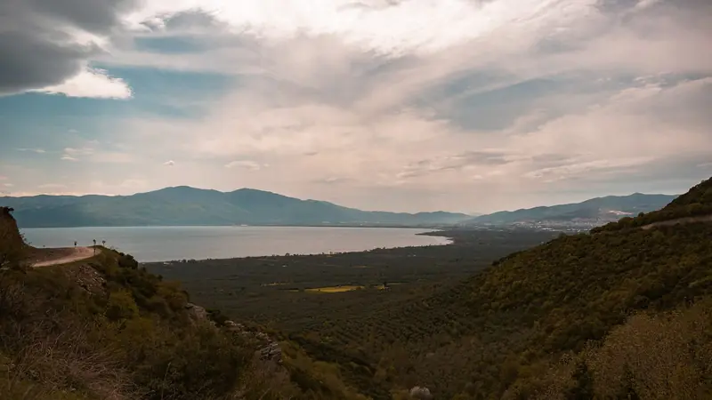
Evliya Çelebi Way
Turkey · Marmara & Aegean · 611 km · 31 stages
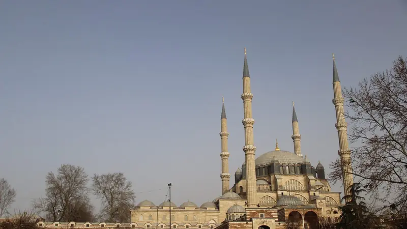
Sultans Trail
Turkey · Eastern Thrace · 336 km · 15 stages
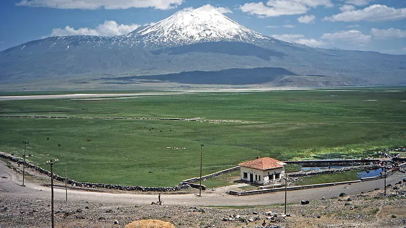
Mount Ararat Climb
Turkey · Ağrı · 12 km · 3 stages
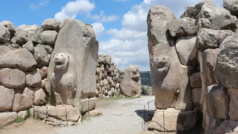
Hittite Trail
Turkey · Çorum · 96 km · 7 stages
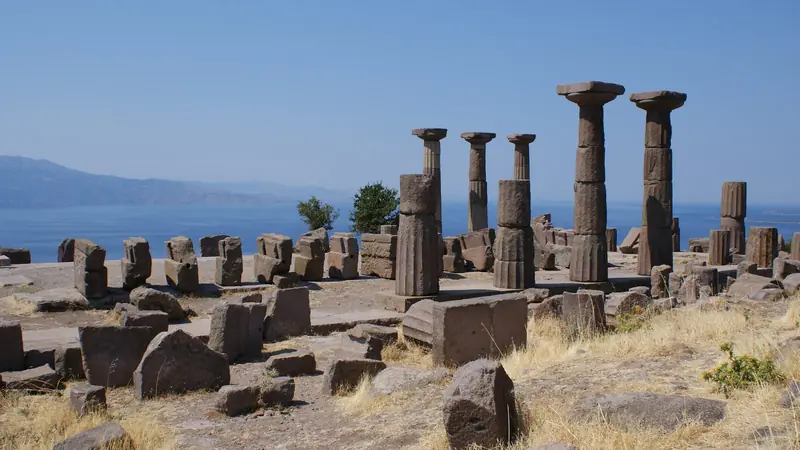
Troy Culture Route
Turkey · Çanakkale · 119 km · 7 stages
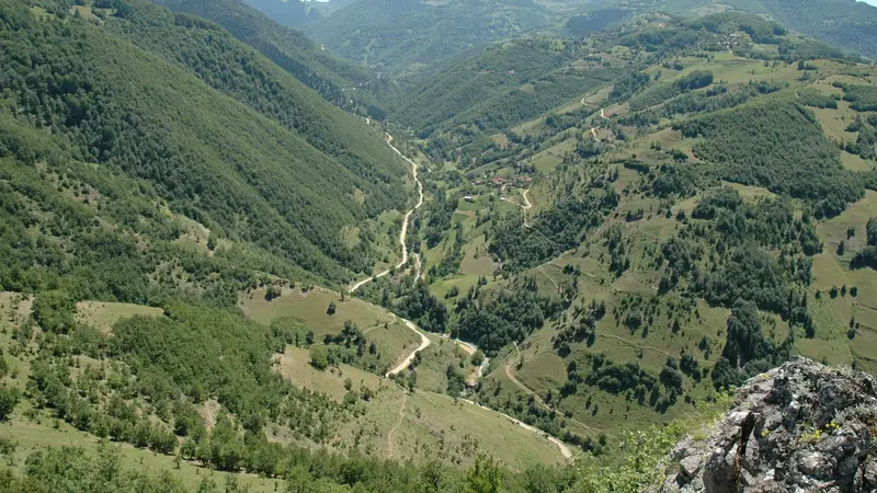
Independence Way
Turkey · Kastamonu · 94 km · 6 stages
Mysia Ways · Aladağlar Traverse · Tour du Mont Blanc · Alta Via 1 · GR 20 · John Muir Trail · Laugavegur · Cotswold Way · Kerry Way · Camino Finisterre · West Highland Way · Walker's Haute Route · Kungsleden · Tour of Monte Rosa · Coast to Coast Walk · Pembrokeshire Coast Path · Hadrian's Wall Path · South Downs Way · Dingle Way · Wicklow Way · Fishermen's Trail · Camino Portugués · Alta Via 2 · Malerweg · Peaks of the Balkans · Overland Track · Lycian Way · St Paul Trail · Camino Francés · Inca Trail · W Trek · Everest Base Camp Trek · Annapurna Circuit · Kumano Kodo Nakahechi · Camino del Norte · Via Francigena · GR10 · Pennine Way · Carian Trail · Phrygian Way · Rheinsteig · Westweg · Goldsteig · GR54 Tour des Écrins · Via Alpina · Path of the Gods · Cinque Terre Trail · Alta Via 4 · GR221 Dry Stone Route · Stubai High Trail · Milford Track · Routeburn Track · Kepler Track · Tongariro Northern Circuit · Larapinta Trail · Great Ocean Walk · West Coast Trail · Wonderland Trail · Teton Crest Trail · Annapurna Base Camp Trek · Markha Valley Trek · Salkantay Trek · Huayhuash Circuit · Kilimanjaro Machame Route · Toubkal Circuit · Jordan Trail: Dana to Petra · Torres del Paine O Circuit · Abel Tasman Coast Track · Three Capes Track · Mestia to Ushguli Trek · Nakasendo Way · Berg Lake Trail · Skyline Trail (Jasper) · Fitz Roy & Cerro Torre Loop · Santa Cruz Trek · Otter Trail · Fish River Canyon Hiking Trail · Camino Primitivo · Camino Inglés · Eagle Walk (Adlerweg) · Berliner Höhenweg · Cape Wrath Trail · Great Glen Way · Offa's Dyke Path · Cleveland Way · Rota Vicentina Historical Way · Via Podiensis (GR 65) · Heaphy Track · Queen Charlotte Track · Cape to Cape Track · Rockwall Trail · Juan de Fuca Marine Trail · Quilotoa Loop · Nahuel Huapi Traverse · Ala Kul Trek · Tiger Leaping Gorge High Trail · Mount Kenya Sirimon–Chogoria Traverse · Ghorepani Poon Hill Trek · Kilimanjaro Lemosho Route · Lebanon Mountain Trail · Kokoda Track · Chilkoot Trail · Lost City Trek · Choquequirao Trek · GR R2 Réunion · M'Goun Traverse
Hike it with the route in your pocket
Outest has the Kaçkar Mountains Traverse route offline, with elevation, water and village points, and a trail guide you can ask about stages, weather and where to sleep.