Share
Make the feed feel like the trailhead.
Post your hike, add photos and video, comment on friends' routes, and let a good trail move through the community.
Outest brings trail discovery, GPS recording, group hiking, Trail AI, and a living feed into one warm place for hikers and trails.
where to?
Route planning matters, but Outest goes further: friends, crews, stories, shared trail knowledge, and a personal shelf of the hikes that shaped your year.
Post your hike, add photos and video, comment on friends' routes, and let a good trail move through the community.
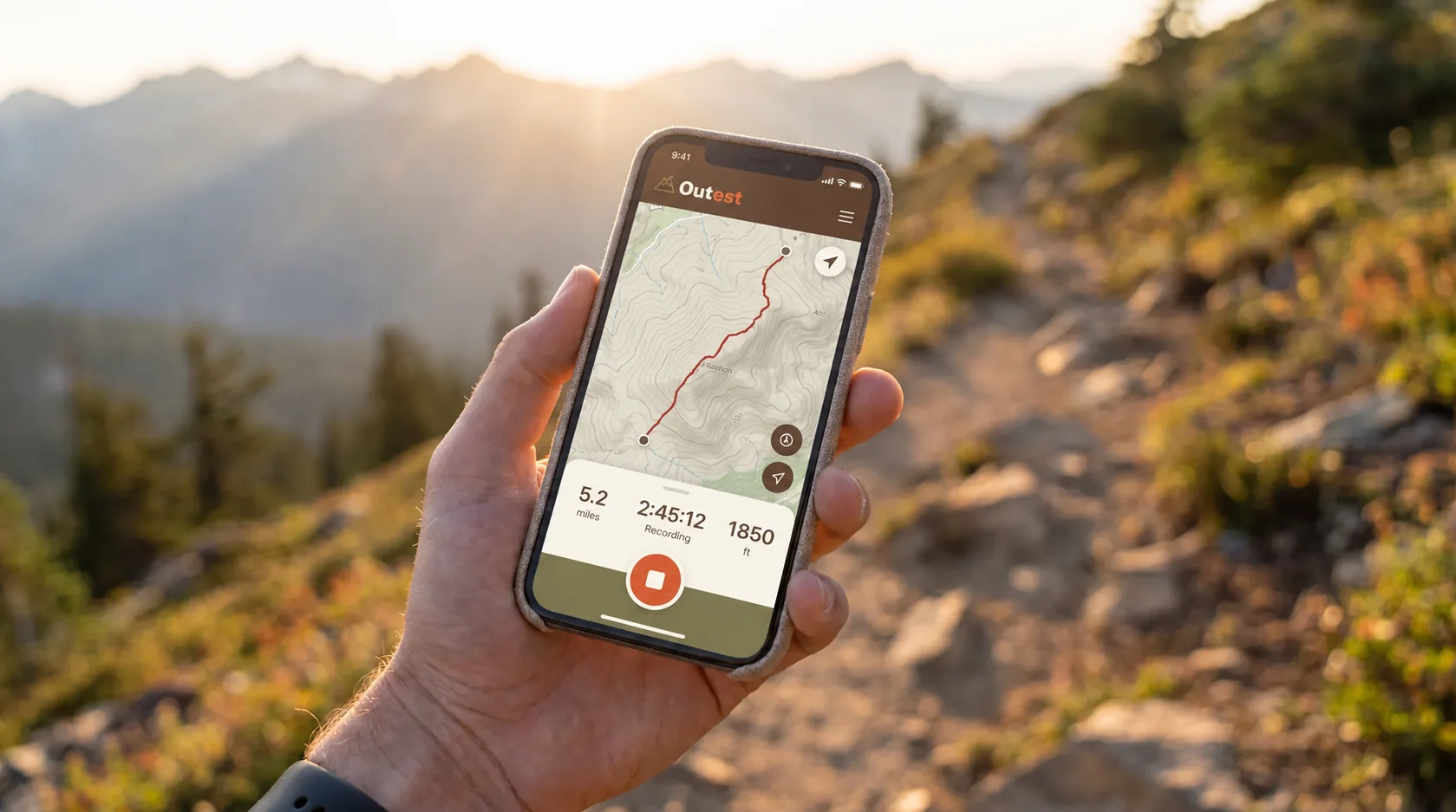
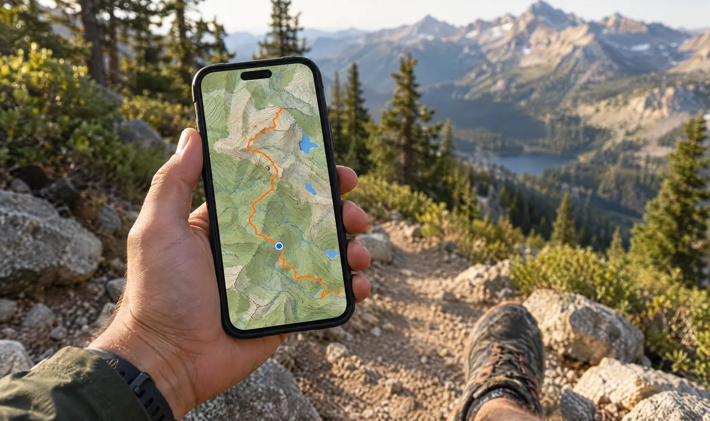
Start recording from your phone or watch, see the route as you move, then save the hike with photos, stats, conditions, and companions.
Trails recommended by real hikers, not just a distance table.
Route, time, elevation, POIs, photos, and conditions in one trail memory.
Your hike lands in the feed where friends can save it and ask about it.
Build your My Cave shelf into a living record of your year outside.
Trail guides
Free guides with maps, elevation, places to stay and emergency info for every stage. Open any route in Outest to follow it offline.
 France · Italy · Switzerland
 Italy · Dolomites
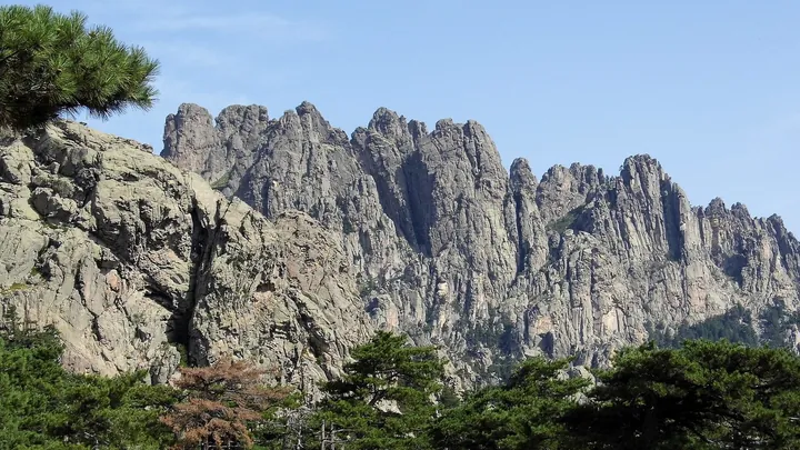 France · Corsica
 USA · California
 Iceland · Highlands
 England · Cotswolds
 Ireland · County Kerry
 Spain · Galicia
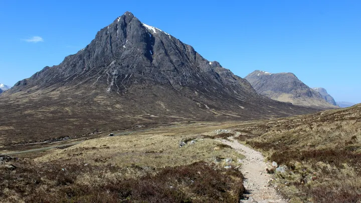 Scotland
 France · Switzerland
 Sweden · Lapland
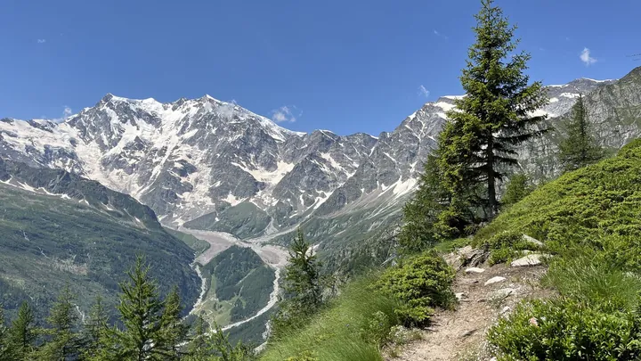 Switzerland · Italy
 England · Lake District to Yorkshire
 Wales · Pembrokeshire
 England · Northumberland & Cumbria
 England · Hampshire & Sussex
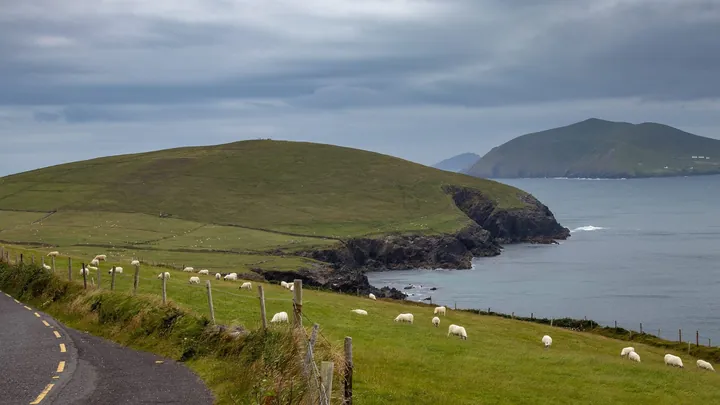 Ireland · County Kerry
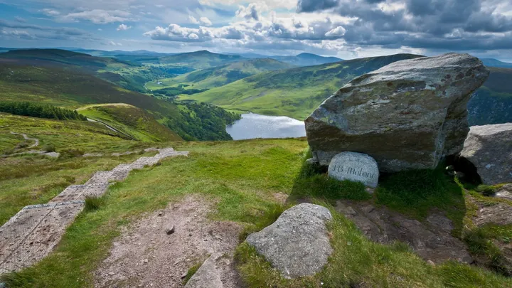 Ireland · Dublin & Wicklow
 Portugal · Alentejo & Algarve
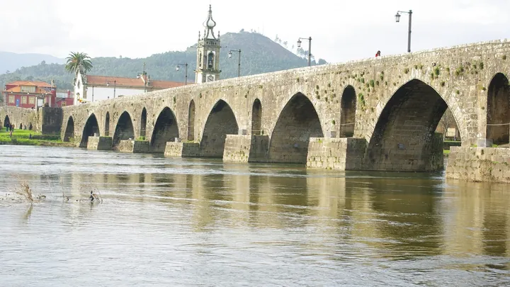 Portugal · Spain
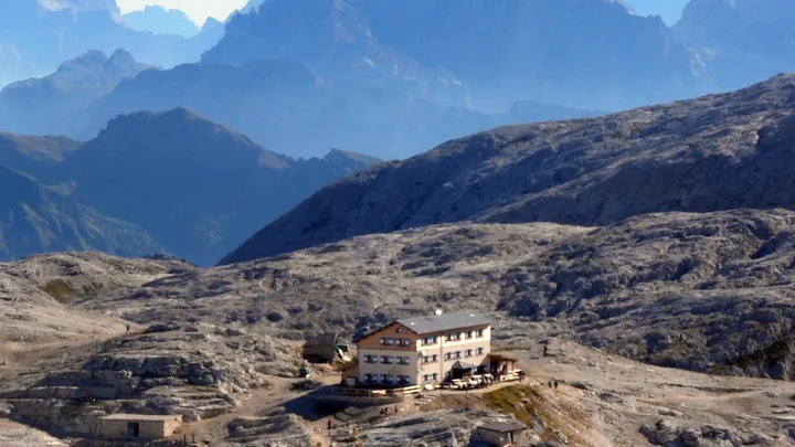 Italy · Dolomites
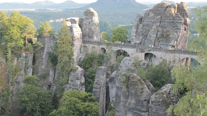 Germany · Saxon Switzerland
 Albania · Kosovo · Montenegro
 Australia · Tasmania
 Türkiye · Mediterranean coast
 Türkiye · Taurus Mountains
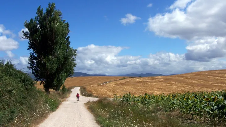 France · Spain
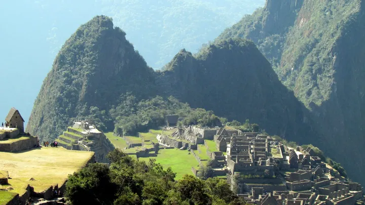 Peru · Cusco
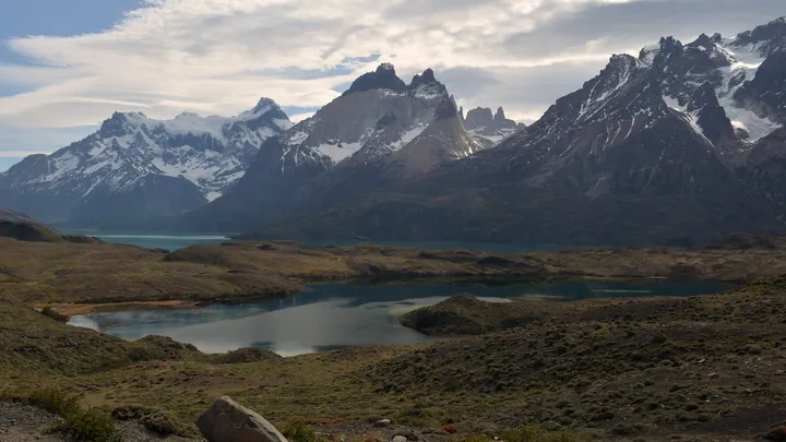 Chile · Patagonia
 Nepal · Khumbu
 Nepal · Annapurna
 Japan · Wakayama
 Spain · Northern coast
 Italy · Tuscany & Lazio
 France · Pyrenees
 England & Scotland · Pennines
 Türkiye · Muğla
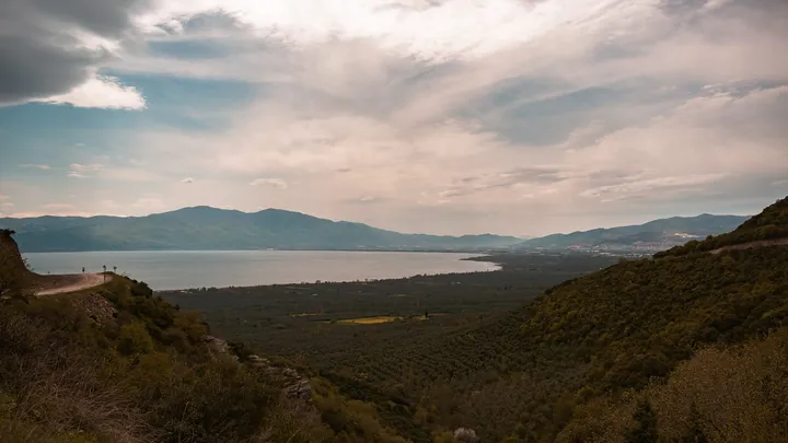 Turkey · Marmara & Aegean
 Turkey · Kaçkar Mountains
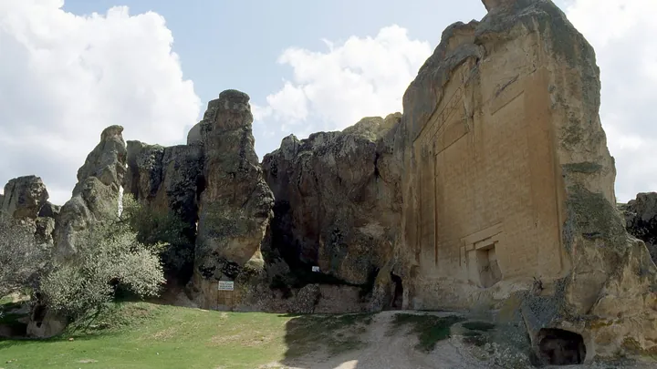 Türkiye · Phrygian Highlands
 Turkey · Eastern Thrace
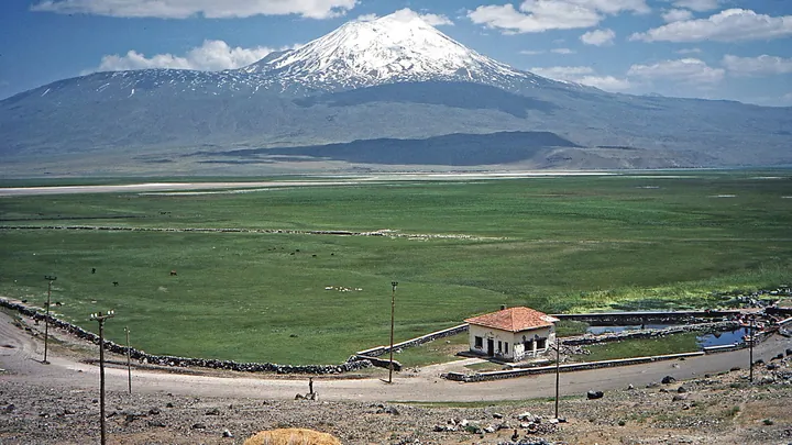 Turkey · Ağrı
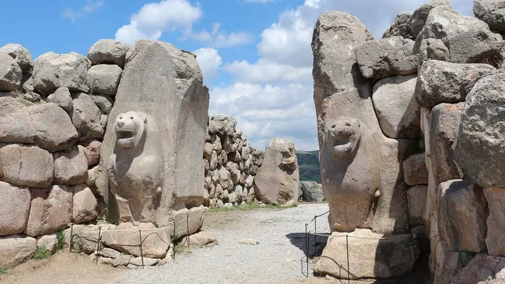 Turkey · Çorum
 Turkey · Çanakkale
 Turkey · Kastamonu
 Turkey · Bursa
 Germany · Rhine Valley
 Germany · Black Forest
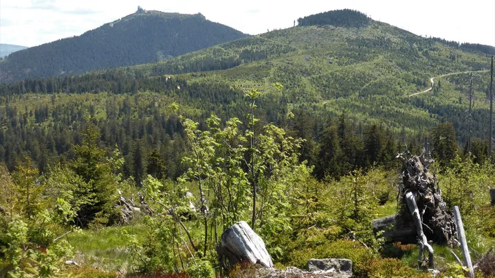 Germany · Bavaria
 France · Écrins
 Switzerland · Liechtenstein to Montreux
 Italy · Amalfi Coast
 Italy · Liguria
 Italy · Dolomites
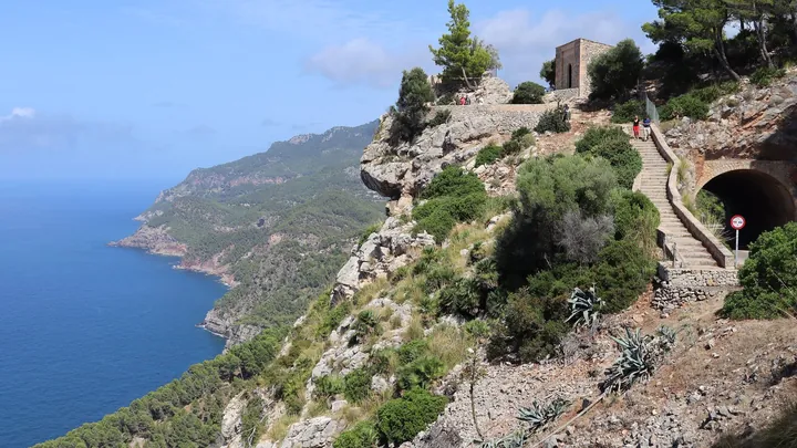 Spain · Mallorca
 Austria · Tyrol
 New Zealand · Fiordland
 New Zealand · Fiordland
 New Zealand · Fiordland
 New Zealand · Tongariro
 Australia · Northern Territory
 Australia · Victoria
 Canada · British Columbia
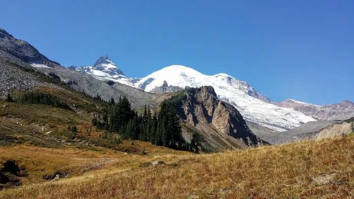 USA · Washington
 USA · Wyoming
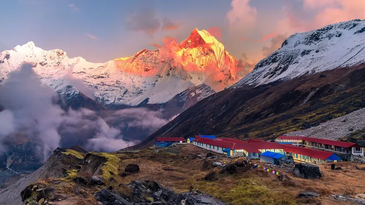 Nepal · Annapurna
 India · Ladakh
 Peru · Cusco
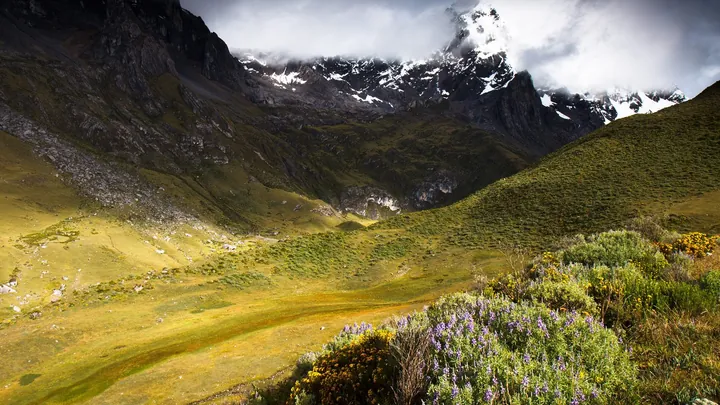 Peru · Áncash
 Tanzania · Kilimanjaro
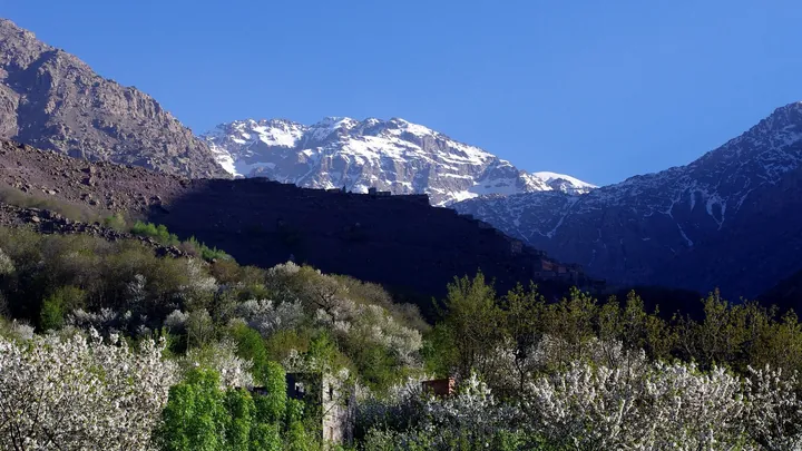 Morocco · High Atlas
 Jordan · Dana & Petra
 Chile · Patagonia
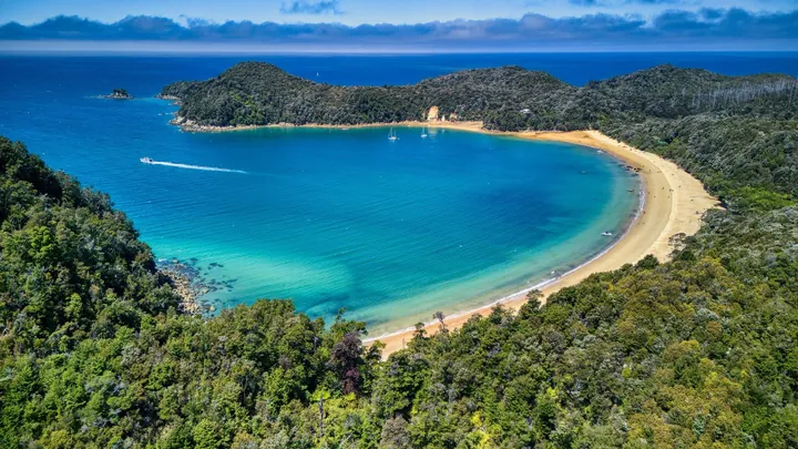 New Zealand · Nelson Tasman
 Australia · Tasmania
 Georgia · Upper Svaneti
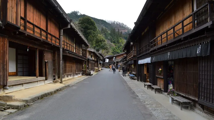 Japan · Kiso Valley
 Canada · British Columbia
 Canada · Alberta
 Argentina · Patagonia
 Peru · Cordillera Blanca
 South Africa · Garden Route
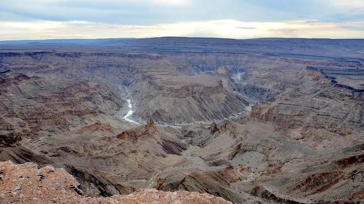 Namibia · ǁKaras
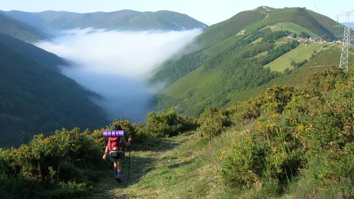 Spain · Asturias & Galicia
 Spain · Galicia
 Austria · Tyrol
 Austria · Zillertal Alps
 Scotland · North-west Highlands
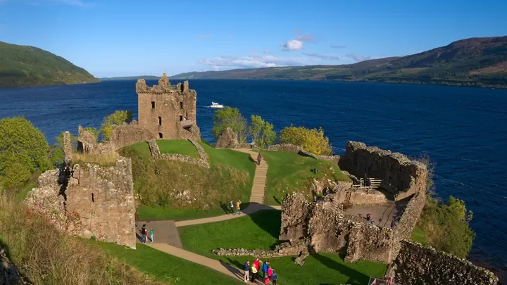 Scotland · Highlands
 Wales & England · Welsh Marches
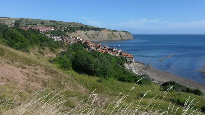 England · North Yorkshire
 Portugal · Alentejo & Algarve
 France · Le Puy to the Pyrenees
 New Zealand · Kahurangi
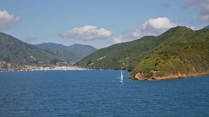 New Zealand · Marlborough Sounds
 Australia · Western Australia
 Canada · British Columbia
 Canada · British Columbia
 Ecuador · Cotopaxi
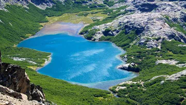 Argentina · Bariloche
 Kyrgyzstan · Issyk-Kul
 China · Yunnan
 Kenya · Mount Kenya
 Nepal · Annapurna
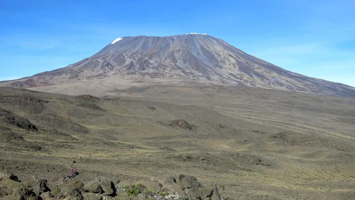 Tanzania · Kilimanjaro
 Lebanon · Mount Lebanon
 Turkey · Niğde
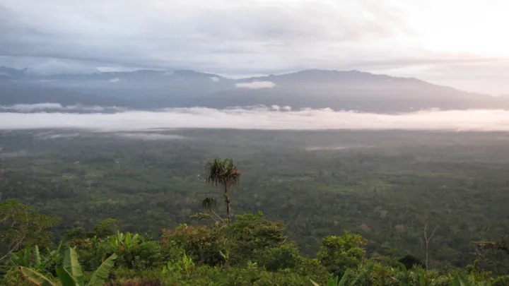 Papua New Guinea · Owen Stanley Range
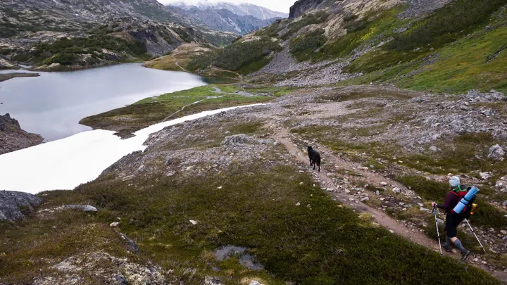 Alaska (USA) · British Columbia (Canada)
 Colombia · Sierra Nevada de Santa Marta
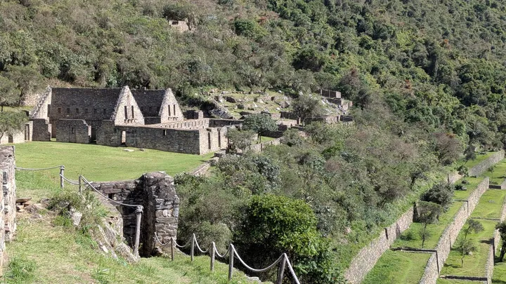 Peru · Apurímac and Cusco
 France · La Réunion
 Morocco · High Atlas
Walking time, water to carry, calories, difficulty, weather and daylight for any hike or trail stage.
Photos: Tour du Mont Blanc: Guilhem Vellut (CC BY 2.0), Alta Via 1: Ka23 13 (CC BY-SA 4.0), GR 20: Mathieudu68 (CC BY-SA 3.0), John Muir Trail: Dcrjsr (CC BY 3.0), Laugavegur: PanWoyteczek (CC BY 4.0), Cotswold Way: Bill Boaden (CC BY-SA 2.0), Kerry Way: Ridiculopathy (CC0), Camino Finisterre: amaianos (CC BY 2.0), West Highland Way: Chris Heaton (CC BY-SA 2.0), Walker's Haute Route: Wandervogel (CC BY-SA 3.0), Kungsleden: Christoph Strässler (CC BY-SA 2.0), Tour of Monte Rosa: Tiia Monto (CC BY 4.0), Coast to Coast Walk: Kreuzschnabel (CC BY-SA 3.0), Pembrokeshire Coast Path: Hogyn Lleol (CC BY-SA 3.0)
Filter nearby routes by difficulty, distance, elevation, surface, and the people who saved them. This demo uses sample trails so the page already behaves like the real product.
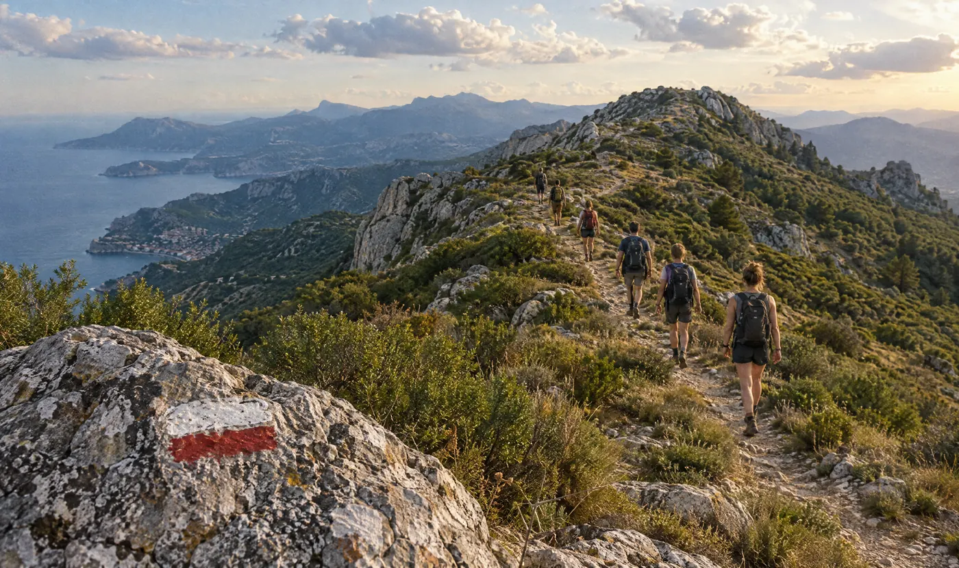
Invite friends to a hike, share live location, keep a group chat open, and make it easier for everyone to reach the same viewpoint without turning the day into logistics.
Pick the route, date, meeting point, and who is coming.
Everyone can see the group movement when coverage allows.
The final trail can carry companions, photos, and shared notes.
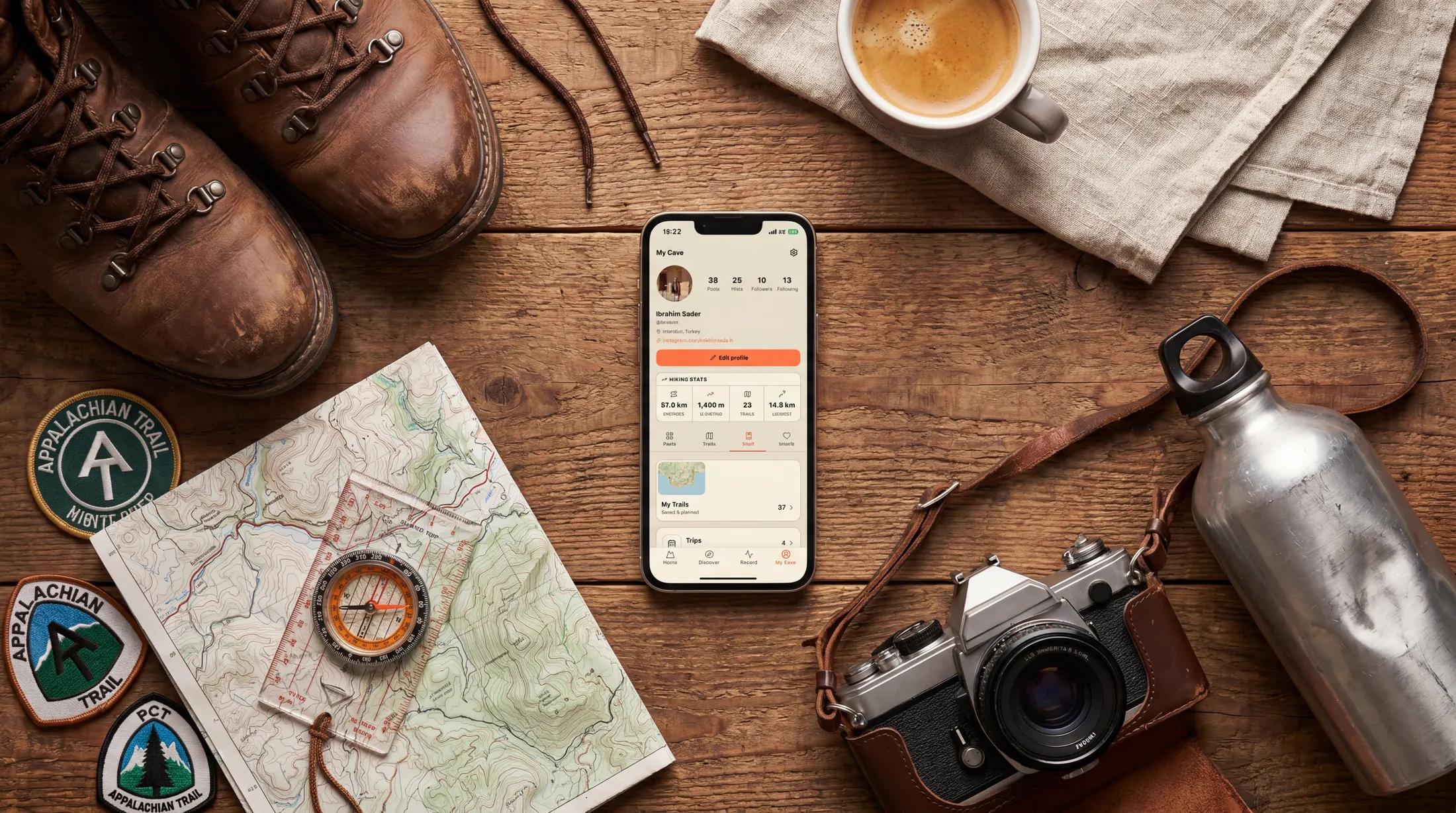
Saved trails, recorded hikes, annual distance, favorite places, and the routes your friends keep asking about. My Cave turns your profile into a warm record of where you have been.
Download Outest to discover trails, record routes, share your hikes, and keep your group connected outside.
No. Beginners get clear trail context and simple actions. Enthusiasts still get route recording, GPX, elevation, watch support, and deeper trail detail.
Route planning is part of it, but Outest is built around people: the feed, friends hiked, group hikes, stories, and the personal My Cave shelf.
The website introduces the product and helps people find the app. Full recording, trail saving, group hiking, and notifications happen inside the Outest mobile app.


