
Tour du Mont Blanc hiking guide: route map, stages & where to stay
The classic Alpine trek: a loop of about 170 km around the Mont Blanc massif through France, Italy and Switzerland, with high passes, glacier views and a night in a mountain refuge almost every evening. Most hikers take 10 to 11 days.
Tour du Mont Blanc conditions today →Best time to hike the Tour du Mont Blanc →

Photo: Guilhem Vellut, CC BY 2.0, cropped
The Tour du Mont Blanc (TMB) is a long-distance hiking loop around the Mont Blanc massif, the highest mountain in Western Europe. It crosses three countries, France, Italy and Switzerland, and links seven valleys over a series of high passes. Most hikers walk it in 10 or 11 days and sleep in mountain refuges, gîtes and village hotels along the way.
The route
The classic start is Les Houches, at the foot of the Chamonix valley, and most people walk anticlockwise: south to Les Contamines and Les Chapieux, over the Col de la Seigne into Italy's Val Veny and down to Courmayeur, along the Italian Val Ferret, over the Grand Col Ferret into Switzerland, through La Fouly, Champex and Trient, and back into France over the Col de Balme to finish along the balcony paths above Chamonix.
This guide follows the main route as mapped on OpenStreetMap and splits it into 11 stages, about 15.1 km each. The total climb is around 10,000 m. The highest point on the main route is the Grand Col Ferret at about 2,537 m, with the Col de la Seigne and the Col de la Croix du Bonhomme close behind. Popular variants, such as the Fenêtre d'Arpette between Champex and Trient, the Col des Fours and the detour to Lac Blanc, are higher and steeper and need good weather.
Highlights
- Col de la Seigne: the border pass into Italy, with the first full view of the south face of Mont Blanc
- Val Veny and Val Ferret: the Italian side, with balcony paths opposite the Grandes Jorasses
- Grand Col Ferret: the high point of the loop and the border between Italy and Switzerland
- Champex-Lac: a small Swiss lake village halfway round
- Col de Balme: the way back into France, with the Chamonix valley spread out below
- Lac Blanc and the Aiguilles Rouges: the famous reflection of the Mont Blanc range, on a short detour near the end
When to walk the Tour du Mont Blanc
The season is short: roughly mid-June to mid-September, when most refuges are open. Snow can lie on the high passes until early July, and the first autumn snow can come in September. July and August are the busiest months, and refuges are often fully booked for them months ahead. Late August also brings the UTMB trail-running races, which use the same paths and fill accommodation in Chamonix and Courmayeur.
How many days do you need?
Ten or eleven days is the standard pace. Fit hikers do it in seven to nine days by joining stages; others take twelve or more and add rest days in Courmayeur or Champex. You can also walk just one part of it, for example the Italian and Swiss sections from Courmayeur to Champex, as buses and lifts connect many of the villages.
Getting there and logistics
Geneva airport is the usual way in; buses and trains run from Geneva to Chamonix and Les Houches. France and Italy use the euro and Switzerland uses the Swiss franc, so carry some of each. Most refuges offer half board (dinner, a dormitory bed and breakfast) and many can make a packed lunch. Mobile coverage is good in the valleys and patchy on the passes; Switzerland is outside the EU roaming rules, so check your phone plan.
The Refuge de la Croix du Bonhomme, a classic overnight on the way to Les Chapieux, is closed for rebuilding; the French Alpine Club expects it to reopen in 2029, so plan to sleep in Les Chapieux or before the climb.
Difficulty
The Tour du Mont Blanc is a demanding mountain walk but not a technical one: there is no climbing on the main route, though a few short sections have ladders, chains or steep, rocky steps. What makes it hard is the climbing: most days go up and down 800 to 1,400 m, at altitudes where the weather can change fast. You need to be used to long days on mountain paths and to carry a pack with rain gear and warm layers.
History
People have walked round Mont Blanc for more than two centuries: in 1767 the Genevan naturalist Horace-Bénédict de Saussure travelled round the massif to study its glaciers, and the route he took became a classic tour for mountain travellers. Today the TMB is one of the most popular long-distance walks in the Alps, waymarked in all three countries.
Tour du Mont Blanc map
The whole Tour du Mont Blanc with its 11 stages, Les Houches round the massif and back. Tap a stage on the map to open it. To follow the route with GPS and offline maps on the trail, open it in the free Outest app.
The 11 stages
The classic anticlockwise loop from Les Houches near Chamonix, through France, Italy and Switzerland and back. Each stage page has a map, elevation profile, the refuges and hotels on the way, and the nearest help.
| # | Stage | Distance | Level |
|---|---|---|---|
| 1 | Les Houches → Les Contamines | 16.7 km | hard |
| 2 | Les Contamines → Les Chapieux | 19.2 km | hard |
| 3 | Les Chapieux → Rifugio Elisabetta | 14.0 km | moderate |
| 4 | Rifugio Elisabetta → Courmayeur | 16.3 km | moderate |
| 5 | Courmayeur → Rifugio Bonatti | 11.6 km | moderate |
| 6 | Rifugio Bonatti → La Fouly | 19.7 km | hard |
| 7 | La Fouly → Champex | 14.9 km | moderate |
| 8 | Champex → Trient | 16.0 km | hard |
| 9 | Trient → Tré-le-Champ | 13.7 km | hard |
| 10 | Tré-le-Champ → La Flégère | 6.6 km | easy |
| 11 | La Flégère → Les Houches | 17.5 km | hard |
Emergency, hospitals and services
In an emergency call 112; it works in France, Italy and Switzerland (in Switzerland you can also call 144). The trail has 4 hospitals with a 24/7 emergency department within reach. Every stage page lists the nearest one, plus pharmacies, ATMs, shops and bus stops on that stage.
Where to stay on the Tour du Mont Blanc
Mountain refuges, gîtes, hotels and campsites, grouped by stage round the Mont Blanc massif. Listings were checked online in October 2026. Places marked "listed by the tourist office" are on an official tourism or TMB listing but could not be confirmed on their own website. Most refuges are open only in summer and fill up early, so book ahead.
Les Houches (trailhead)
3 places
- 2 with rooms
- 1 camping
- 1 with meals
Les Houches
Les Houches → Les Contamines
8 places
- 8 with rooms
- 2 camping
- 7 with meals
Bionnassay · Col de Voza (Le Prarion) · Les Contamines-Montjoie · Saint-Gervais-les-Bains (Le Truc)
Les Contamines → Les Chapieux
5 places
- 5 with rooms
- 1 camping
- 5 with meals
Les Chapieux · Les Contamines-Montjoie
Les Chapieux → Rifugio Elisabetta
2 places
- 2 with rooms
- 2 with meals
Val Veny · Ville des Glaciers
Rifugio Elisabetta → Courmayeur
7 places
- 6 with rooms
- 1 camping
- 5 with meals
Courmayeur · Courmayeur (Col Checrouit) · Courmayeur (Plan Checrouit) · Dolonne · Val Veny
Courmayeur → Rifugio Bonatti
5 places
- 5 with rooms
- 5 with meals
Courmayeur (La Palud) · Courmayeur (Mont de la Saxe) · Courmayeur (Val Ferret entrance) · Val Ferret · Val Ferret (Lavachey)
Rifugio Bonatti → La Fouly
11 places
- 10 with rooms
- 1 camping
- 8 with meals
Ferret · La Fouly · Val Ferret · Val Ferret (Arnouvaz)
La Fouly → Champex
4 places
- 4 with rooms
- 4 with meals
Champex-Lac
Champex → Trient
5 places
- 5 with rooms
- 2 camping
- 5 with meals
Champex-Lac (Val d'Arpette) · Col de la Forclaz · Trient · Trient (Le Peuty)
Trient → Tré-le-Champ
5 places
- 5 with rooms
- 2 camping
- 5 with meals
Col de Balme · Le Tour · Le Tour (Charamillon) · Tré-le-Champ
Tré-le-Champ → La Flégère
2 places
- 2 with rooms
- 1 camping
- 2 with meals
La Flégère · Lac Blanc
La Flégère → Les Houches
1 place
- 1 with rooms
- 1 with meals
Bellachat
Plan your days
Pick any Tour du Mont Blanc stage in the free hike planner to see walking time, water to carry, calories, difficulty, the weather forecast and daylight.
More trail guides

GR 20
France · Corsica · 184 km · 16 stages

Walker's Haute Route
France · Switzerland · 204 km · 12 stages
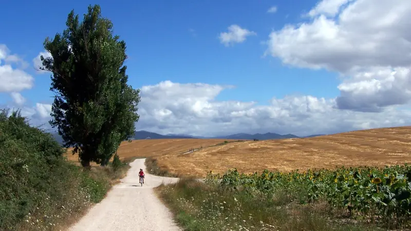
Camino Francés
France · Spain · 768 km · 33 stages

GR10
France · Pyrenees · 921 km · 55 stages

GR54 Tour des Écrins
France · Écrins · 192 km · 13 stages
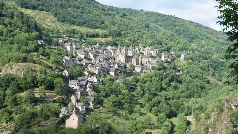
Via Podiensis (GR 65)
France · Le Puy to the Pyrenees · 752 km · 31 stages
GR R2 Réunion · Alta Via 1 · John Muir Trail · Laugavegur · Cotswold Way · Kerry Way · Camino Finisterre · West Highland Way · Kungsleden · Tour of Monte Rosa · Coast to Coast Walk · Pembrokeshire Coast Path · Hadrian's Wall Path · South Downs Way · Dingle Way · Wicklow Way · Fishermen's Trail · Camino Portugués · Alta Via 2 · Malerweg · Peaks of the Balkans · Overland Track · Lycian Way · St Paul Trail · Inca Trail · W Trek · Everest Base Camp Trek · Annapurna Circuit · Kumano Kodo Nakahechi · Camino del Norte · Via Francigena · Pennine Way · Carian Trail · Evliya Çelebi Way · Kaçkar Mountains Traverse · Phrygian Way · Sultans Trail · Mount Ararat Climb · Hittite Trail · Troy Culture Route · Independence Way · Mysia Ways · Rheinsteig · Westweg · Goldsteig · Via Alpina · Path of the Gods · Cinque Terre Trail · Alta Via 4 · GR221 Dry Stone Route · Stubai High Trail · Milford Track · Routeburn Track · Kepler Track · Tongariro Northern Circuit · Larapinta Trail · Great Ocean Walk · West Coast Trail · Wonderland Trail · Teton Crest Trail · Annapurna Base Camp Trek · Markha Valley Trek · Salkantay Trek · Huayhuash Circuit · Kilimanjaro Machame Route · Toubkal Circuit · Jordan Trail: Dana to Petra · Torres del Paine O Circuit · Abel Tasman Coast Track · Three Capes Track · Mestia to Ushguli Trek · Nakasendo Way · Berg Lake Trail · Skyline Trail (Jasper) · Fitz Roy & Cerro Torre Loop · Santa Cruz Trek · Otter Trail · Fish River Canyon Hiking Trail · Camino Primitivo · Camino Inglés · Eagle Walk (Adlerweg) · Berliner Höhenweg · Cape Wrath Trail · Great Glen Way · Offa's Dyke Path · Cleveland Way · Rota Vicentina Historical Way · Heaphy Track · Queen Charlotte Track · Cape to Cape Track · Rockwall Trail · Juan de Fuca Marine Trail · Quilotoa Loop · Nahuel Huapi Traverse · Ala Kul Trek · Tiger Leaping Gorge High Trail · Mount Kenya Sirimon–Chogoria Traverse · Ghorepani Poon Hill Trek · Kilimanjaro Lemosho Route · Lebanon Mountain Trail · Aladağlar Traverse · Kokoda Track · Chilkoot Trail · Lost City Trek · Choquequirao Trek · M'Goun Traverse
Hike it with the route in your pocket
Outest has the Tour du Mont Blanc route offline, with elevation, water and village points, and a trail guide you can ask about stages, weather and where to sleep.