
Mount Ararat Climb hiking guide: route map, stages & where to stay
Mount Ararat (Ağrı Dağı, 5,137 m), Turkey's highest peak: a 12 km guided climb on the southern route from Eli village via Camp 1 (3,200 m) and Camp 2 (4,200 m) to the summit, usually 5 days from Doğubayazıt. You sleep in agency tent camps; a permit is required.
Best time to hike the Mount Ararat Climb →

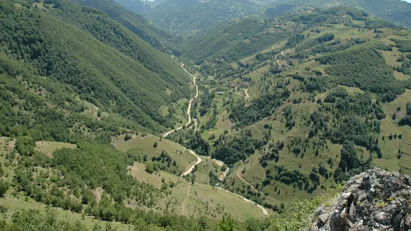
Photo: W. Bulach, CC BY-SA 4.0, cropped
Mount Ararat (Ağrı Dağı, 5,137 m) is the highest mountain in Turkey, a dormant volcano with a permanent ice cap that rises more than 3,500 m above the plain of Doğubayazıt, close to the borders with Iran and Armenia. The standard climb is the southern route: from Eli village (about 2,200 m) up grassy and then rocky slopes to Camp 1 (3,200 m) and Camp 2 (4,200 m), and from there a night start to the summit. It is a non-technical but serious high-altitude trek. Foreigners need a permit and must climb with a licensed Turkish agency and a local guide, so nobody climbs it independently. You sleep in tents at the agency camps, and horses carry the bags.
The route
The agency transfer leaves Doğubayazıt (about 1,600 m) and drives about an hour on a mountain road to Eli, where the walking starts. The first day climbs about 1,000 m on a clear path through pasture and boulder fields to Camp 1, also called Green Camp, a group of agency tent camps between 3,200 and 3,400 m. The second stage is short but steep: a zigzag path over loose volcanic rock to Camp 2 at about 4,200 m, a cluster of tent platforms on rocky ledges below the summit cone. On summit day you leave Camp 2 at about 1 or 2 am and climb about 950 m on scree and snow to the edge of the ice cap, where you put on crampons for the last section to the top. On a clear day you see Little Ararat (3,896 m), Iran and Armenia. You come down the same way.
This guide follows the path mapped on OpenStreetMap and splits the ascent into 3 stages, about 4.1 km each: Eli to Camp 1, Camp 1 to Camp 2, and Camp 2 to the summit. The distances are short; the altitude makes them slow. The descent and the acclimatisation day are not separate stages, and they are described below.
When to climb Mount Ararat
The season runs from mid-June to mid-September, and the agency camps stay open from about mid-June to mid-October. July and August have the most stable weather, and they are also the busiest months: the Doğubayazıt District Governorship expected more than 5,000 climbers in 2026. Even in August the summit is below freezing at night, with strong wind, and storms can bring snow, hail and strong wind on any day. Permits are issued all year, but a winter climb is a cold, snowy expedition for experienced mountaineers.
How many days do you need?
Most agencies run 5 to 7 days from Doğubayazıt. A typical 5-day programme is: Eli to Camp 1; an acclimatisation hike from Camp 1 to about 4,000–4,200 m and back down to sleep; Camp 1 to Camp 2; summit and descent to Camp 2 or Camp 1; then down to Eli and Doğubayazıt. Shorter 4-day trips skip the acclimatisation day, which makes altitude sickness more likely. Plan 4–5 hours for Eli to Camp 1, 3–5 hours for Camp 1 to Camp 2, and 6–8 hours from Camp 2 to the summit, with 8–12 hours for the round trip back to Camp 2. Add a spare day for bad weather.
Permits and booking in 2026
Ağrı Dağı is a military security zone and a national park, so every foreign climber needs a permit. The Doğubayazıt District Governorship issues it on behalf of the Ağrı Governorship, and in practice your agency applies for you with a copy of your passport and your dates. In 2026 foreigners must apply at least 30 days before the climb, and permits are confirmed at the latest 10 days before. The fee is USD 50 per person, usually included in the tour price.
Choose an agency licensed by the Turkish Ministry of Culture and Tourism; agencies publish their TÜRSAB licence number, and you can check it on the TÜRSAB website. Since June 2026 every group must also climb with a local guide and an official escort (mihmandar), and the Ağrı Governorship updated the climbing directive for 2026 with stricter checks, quotas and camp capacity limits. A typical package includes the permit, transfers, guides, tents, meals on the mountain and horses for the bags. Sleeping bags and crampons can often be rented.
Getting there and away
Doğubayazıt is the base. The nearest airports are Iğdır (about an hour by road), Ağrı (about 1.5 hours) and Van (about 3 hours), all with flights from Istanbul and Ankara; agencies usually pick you up. Buses and minibuses run to Doğubayazıt from Van, Ağrı and Iğdır, and the Gürbulak border crossing to Iran is close to the town. Sleep in Doğubayazıt the night before and after the climb; the town has hotels and the İshak Paşa Palace.
Money and phone signal
Turkey uses the Turkish lira. There are ATMs and shops in Doğubayazıt, but nothing to buy above Eli, so bring cash for tips and extras. Phone signal is unreliable on the mountain and guides use radios. Keep your phone charged with a power bank, as the camps have little or no electricity.
What to pack
You need full mountain clothing: warm layers, a down jacket, a waterproof shell, warm gloves and spare gloves, a warm hat, a buff, glacier sunglasses and high-factor sun cream. Bring sturdy boots that take crampons, gaiters, a headtorch, trekking poles and a sleeping bag rated to −5 to −10 °C for Camp 2. Your agency provides tents and usually crampons; check what is included. Carry 2 litres of water on summit day in an insulated bottle so it does not freeze.
Altitude and safety
The real danger on Ararat is the altitude, not the terrain. Camp 2 is at 4,200 m and the summit at 5,137 m, and many climbers get headaches, nausea and poor sleep. Walk slowly, drink often, use the acclimatisation day, and tell your guide about symptoms. If they get worse, go down at once. Ask your doctor before the trip about altitude medicine. In an emergency call 112; jandarma search and rescue teams are on standby in the national park in season. In 2026 two survival shelters with first aid supplies, radios and 112 emergency buttons were set up at 4,200 m and 4,650 m. Stay on the route: leaving it is not allowed and is dangerous. Drones are not allowed.
Difficulty
The southern route is a non-technical climb, but it is hard: about 3,000 m of ascent in three stages, loose volcanic rock, cold nights and a long summit day at over 5,000 m. Crampons, and sometimes a rope, are needed on the ice near the summit. You should be fit, used to long mountain days, and ideally have been above 4,000 m before.
Mount Ararat Climb map
The whole Mount Ararat Climb with its 3 stages, Eli village to the summit. Tap a stage on the map to open it. To follow the route with GPS and offline maps on the trail, open it in the free Outest app.
The 3 stages
The standard guided ascent of the southern route: from Eli village above Doğubayazıt to Camp 1 (3,200 m), on to Camp 2 (4,200 m) and, after a night start, to the summit at 5,137 m. Most groups add an acclimatisation day at Camp 1 and come down the same way. Walking times are for an average climber and do not fully allow for the altitude: summit day usually takes 6–8 hours up and 8–12 hours back to Camp 2. Each stage page has a map, elevation profile, the camps and the nearest help.
| # | Stage | Distance | Level |
|---|---|---|---|
| 1 | Eli → Camp 1 | 6.6 km | hard |
| 2 | Camp 1 → Camp 2 | 3.2 km | moderate |
| 3 | Camp 2 → Summit | 2.3 km | moderate |
Emergency, hospitals and services
In an emergency call 112, Turkey's single emergency number; jandarma search and rescue teams (JAK) are on standby in the national park during the season. Phone signal is unreliable, so stay with your guide, who carries a radio. In 2026 survival shelters with first aid supplies and 112 emergency buttons were set up at 4,200 m and 4,650 m. 3 hospitals with a 24-hour emergency department are within reach by road, the nearest in Doğubayazıt; every stage page lists the nearest help.
Where to stay on the Mount Ararat Climb
Hotels in Doğubayazıt and the agency tent camps at Camp 1 (3,200 m) and Camp 2 (4,200 m), grouped by stage from Eli village to the summit. Listings were checked online in October 2026. Places marked "not confirmed by the operator" are listed on OpenStreetMap or in the news but could not be checked on an official page. You cannot book the camps on your own: your licensed agency arranges the permit, the camp, meals and the horses that carry the bags. Book Doğubayazıt hotels ahead for July and August.
Plan your days
Pick any Mount Ararat Climb stage in the free hike planner to see walking time, water to carry, calories, difficulty, the weather forecast and daylight.
More trail guides
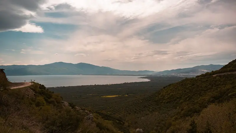
Evliya Çelebi Way
Turkey · Marmara & Aegean · 611 km · 31 stages

Kaçkar Mountains Traverse
Turkey · Kaçkar Mountains · 34 km · 3 stages
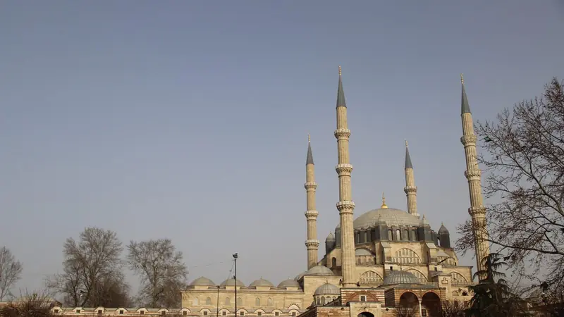
Sultans Trail
Turkey · Eastern Thrace · 336 km · 15 stages
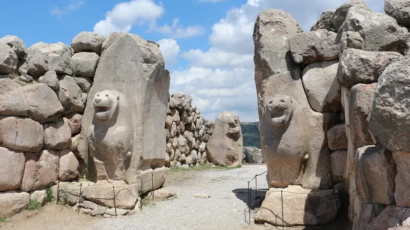
Hittite Trail
Turkey · Çorum · 96 km · 7 stages
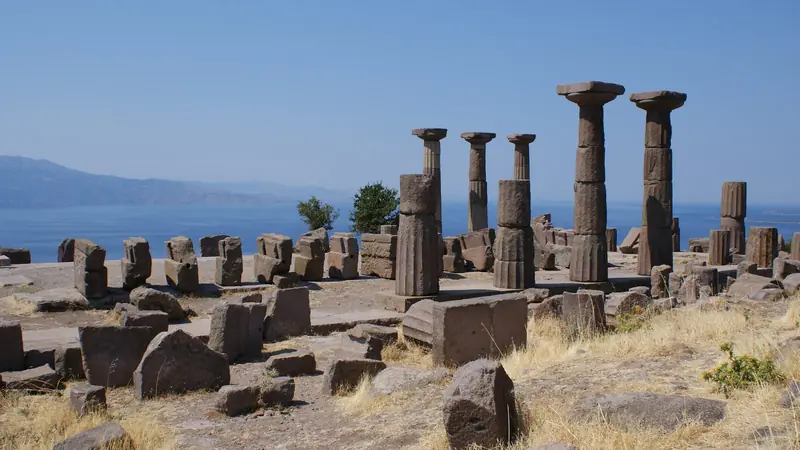
Troy Culture Route
Turkey · Çanakkale · 119 km · 7 stages
Independence Way
Turkey · Kastamonu · 94 km · 6 stages
Mysia Ways · Aladağlar Traverse · Tour du Mont Blanc · Alta Via 1 · GR 20 · John Muir Trail · Laugavegur · Cotswold Way · Kerry Way · Camino Finisterre · West Highland Way · Walker's Haute Route · Kungsleden · Tour of Monte Rosa · Coast to Coast Walk · Pembrokeshire Coast Path · Hadrian's Wall Path · South Downs Way · Dingle Way · Wicklow Way · Fishermen's Trail · Camino Portugués · Alta Via 2 · Malerweg · Peaks of the Balkans · Overland Track · Lycian Way · St Paul Trail · Camino Francés · Inca Trail · W Trek · Everest Base Camp Trek · Annapurna Circuit · Kumano Kodo Nakahechi · Camino del Norte · Via Francigena · GR10 · Pennine Way · Carian Trail · Phrygian Way · Rheinsteig · Westweg · Goldsteig · GR54 Tour des Écrins · Via Alpina · Path of the Gods · Cinque Terre Trail · Alta Via 4 · GR221 Dry Stone Route · Stubai High Trail · Milford Track · Routeburn Track · Kepler Track · Tongariro Northern Circuit · Larapinta Trail · Great Ocean Walk · West Coast Trail · Wonderland Trail · Teton Crest Trail · Annapurna Base Camp Trek · Markha Valley Trek · Salkantay Trek · Huayhuash Circuit · Kilimanjaro Machame Route · Toubkal Circuit · Jordan Trail: Dana to Petra · Torres del Paine O Circuit · Abel Tasman Coast Track · Three Capes Track · Mestia to Ushguli Trek · Nakasendo Way · Berg Lake Trail · Skyline Trail (Jasper) · Fitz Roy & Cerro Torre Loop · Santa Cruz Trek · Otter Trail · Fish River Canyon Hiking Trail · Camino Primitivo · Camino Inglés · Eagle Walk (Adlerweg) · Berliner Höhenweg · Cape Wrath Trail · Great Glen Way · Offa's Dyke Path · Cleveland Way · Rota Vicentina Historical Way · Via Podiensis (GR 65) · Heaphy Track · Queen Charlotte Track · Cape to Cape Track · Rockwall Trail · Juan de Fuca Marine Trail · Quilotoa Loop · Nahuel Huapi Traverse · Ala Kul Trek · Tiger Leaping Gorge High Trail · Mount Kenya Sirimon–Chogoria Traverse · Ghorepani Poon Hill Trek · Kilimanjaro Lemosho Route · Lebanon Mountain Trail · Kokoda Track · Chilkoot Trail · Lost City Trek · Choquequirao Trek · GR R2 Réunion · M'Goun Traverse
Hike it with the route in your pocket
Outest has the Mount Ararat Climb route offline, with elevation, water and village points, and a trail guide you can ask about stages, weather and where to sleep.