
Overland Track hiking guide: route map, stages & where to stay
Tasmania's Overland Track: 65 km hut to hut through the Cradle Mountain–Lake St Clair National Park, from Ronny Creek below Cradle Mountain to Lake St Clair, past Mount Ossa, the island's highest peak. Most walkers take 6 days and finish with a ferry, or walk 17.5 km more along the lake.
Best time to hike the Overland Track →

Photo: Norton Ip from Hong Kong, CC BY-SA 2.0, cropped
The Overland Track is Tasmania's best-known multi-day walk and one of the great alpine walks of the world. It crosses the Cradle Mountain–Lake St Clair National Park, part of the Tasmanian Wilderness World Heritage Area, from Cradle Mountain in the north to Lake St Clair in the south. The official walk is 65 km from Ronny Creek to Narcissus Hut at the head of Lake St Clair, and most walkers take 6 days. From Narcissus you take a booked ferry across the lake, or walk 17.5 km more along the shore to Cynthia Bay. You sleep in free public huts or in your own tent, and you carry all your food and gear.
The route
The track starts at Ronny Creek in Cradle Valley and climbs past Crater Lake to Marions Lookout, high above Dove Lake. It then crosses the exposed Cradle Mountain plateau, below Cradle Mountain and Barn Bluff, to Waterfall Valley. The next days lead over alpine moorland and tarns to Lake Windermere, down through rainforest to the Forth River and up to the wide Pelion Plains. From New Pelion Hut the track climbs to Pelion Gap, the saddle between Mount Ossa and Mount Pelion East, and drops to Kia Ora. It passes the old Du Cane Hut and a side track to three waterfalls on the Mersey River, reaches Windy Ridge, and then descends gently through the Narcissus Valley to Lake St Clair.
This guide follows the route mapped on OpenStreetMap and splits it into 7 stages, about 11.1 km each. The first six stages are the classic hut-to-hut days from Ronny Creek to Narcissus. The last stage is the optional lakeside walk from Narcissus to the Lake St Clair Visitor Centre at Cynthia Bay; skip it if you take the ferry. Almost half the track is above 1,000 m, and the highest point, on the plateau near Kitchen Hut, is about 1,250 m.
Highlights
- Marions Lookout and Cradle Mountain: the view over Dove Lake and Crater Lake on day 1, and an optional scramble to the summit (1,545 m)
- Barn Bluff and Lake Will: side trips from the plateau to a second summit (1,559 m) and a quiet alpine lake
- Pelion Plains: a wide valley with mountain views on all sides, and the historic Old Pelion Hut from 1917
- Mount Ossa: the highest mountain in Tasmania (1,617 m), a side trip of 4 to 5 hours return from Pelion Gap
- Du Cane Hut and the Mersey waterfalls: a historic hut built in 1910, then D'Alton, Fergusson and Hartnett Falls in deep rainforest
- Lake St Clair: Australia's deepest lake (167 m), called leeawuleena, "sleeping water", by Tasmanian Aboriginal people
When to walk the Overland Track
The main season is the booking season, from 1 October to 31 May. December to February has the longest days and the mildest weather, and is the busiest time; late spring and summer bring wildflowers, and in autumn the deciduous beech (fagus) turns the hillsides gold. The weather in the Tasmanian highlands changes fast: snow, rain, strong wind and sun are possible in any month, even in summer, and deaths from cold have happened. From June to September the track is open without a booking, but it is a winter expedition with snow, short days and fallen trees, and only for very experienced walkers.
How many days do you need?
Most walkers take 6 days from Ronny Creek to Narcissus and then the ferry. Add a day if you walk the last stage along the lake instead, and add days if you want to climb Mount Ossa or Cradle Mountain in good weather or visit Pine Valley and The Labyrinth. The days are short in distance but slow: allow 3 to 7 hours of walking each day. Plan a spare day before and after the walk for transport.
Getting there and logistics
Launceston, Devonport and Hobart are the nearest airports. Walker buses run all year from Launceston, Hobart and Devonport to the Cradle Mountain Visitor Centre and back from Lake St Clair, with more services in summer; book them early. On the day you start, check in at the visitor centre, attend the 30-minute briefing and collect your pass, then take the park shuttle bus 7 km to Ronny Creek. Lake St Clair is about 2.5 hours by road from Hobart or Launceston.
In the booking season every walker needs an Overland Track Pass, booked online for a fixed start date. For 2026–27 it costs $312 for adults and $272 for children and concession holders, and it includes park entry and the shuttle bus. Only 34 independent walkers may start each day, everyone walks north to south, and bookings open on the first Tuesday in July. Outside the season you need a Tasmanian national parks pass and an online walker registration.
The huts are free and first come, first served, so you must carry a tent. They have bunks without mattresses, rainwater tanks and composting toilets, but no showers or cooking gear. The park is a fuel-stove-only area: campfires are banned. Book the ferry from Narcissus ($60 one way in 2026) before you start, and sign the log book at every hut. There is almost no mobile reception, so PWS recommends a personal locator beacon (PLB).
Difficulty
The Overland Track is graded 4 by the Tasmania Parks and Wildlife Service: bushwalking experience is recommended. The path is well marked and much of it is boardwalk, but there is also mud, rock, tree roots and a few short, steep climbs, such as the one to Marions Lookout on day 1. Most packs weigh about 18 kg, because you carry a tent, stove and food for a week. The real danger is the weather: on the open plateau and at Pelion Gap you can meet freezing rain, wind or snow in summer. Carry full waterproofs and warm clothes, and be ready to wait or turn back.
History
The land along the track was used by Tasmanian Aboriginal people for many thousands of years. In 1910 Gustav Weindorfer stood on the summit of Cradle Mountain and declared: "This must be a national park for the people for all time." He and his wife Kate built their chalet, Waldheim, near the start of the track in 1912, and the area became a scenic reserve in 1922. In 1931 the trapper Bert Nichols blazed a route from Cradle Mountain to Lake St Clair, and by 1935 walkers were using it. The park became part of the Tasmanian Wilderness World Heritage Area in 1982, and in 2005 the booking system was introduced to protect the track from overuse.
Overland Track map
The whole Overland Track with its 7 stages, Cradle Mountain to Lake St Clair. Tap a stage on the map to open it. To follow the route with GPS and offline maps on the trail, open it in the free Outest app.
The 7 stages
The classic six days hut to hut from Ronny Creek below Cradle Mountain to Narcissus at the head of Lake St Clair, via Waterfall Valley, Lake Windermere, New Pelion, Kia Ora and Windy Ridge, plus the optional lakeside walk to Cynthia Bay for walkers who skip the ferry. Walking times allow for mud, roots, rocks and a full pack. Each stage page has a map, elevation profile, the huts and tent platforms, and the nearest help.
| # | Stage | Distance | Level |
|---|---|---|---|
| 1 | Ronny Creek → Waterfall Valley | 10.8 km | moderate |
| 2 | Waterfall Valley → Lake Windermere | 7.4 km | easy |
| 3 | Lake Windermere → New Pelion | 15.0 km | moderate |
| 4 | New Pelion → Kia Ora | 8.4 km | easy |
| 5 | Kia Ora → Windy Ridge | 9.6 km | moderate |
| 6 | Windy Ridge → Narcissus | 10.0 km | easy |
| 7 | Narcissus → Cynthia Bay | 16.5 km | hard |
Emergency, hospitals and services
In an emergency call 000 (or 112 from a mobile) and ask for the police, who run search and rescue. There is almost no mobile signal on the track, so carry a personal locator beacon (PLB). 5 hospitals with a 24-hour emergency department are within reach by road, the nearest in Burnie, Latrobe and Queenstown; serious cases are usually flown out by helicopter. Every stage page lists the nearest help.
Where to stay on the Overland Track
Public huts, tent platforms and the lodges, cabins and campsites at each end, grouped by stage from Cradle Mountain to Lake St Clair. Listings were checked online in October 2026. Places marked "not confirmed by the operator" are listed on OpenStreetMap or in guides but could not be checked on an official page. The huts are free and cannot be booked, so carry a tent; book rooms at Cradle Mountain and Lake St Clair, the walker bus and the Lake St Clair ferry well ahead.
Ronny Creek (trailhead)
7 places
- 5 with rooms
- 1 camping
- 3 with meals
Cradle Mountain
Ronny Creek → Waterfall Valley
2 places
- 1 with rooms
- 1 camping
Cradle plateau · Waterfall Valley
Waterfall Valley → Lake Windermere
1 place
- 1 with rooms
- 1 camping
Lake Windermere
Lake Windermere → New Pelion
1 place
- 1 with rooms
- 1 camping
Pelion Plains
New Pelion → Kia Ora
1 place
- 1 with rooms
- 1 camping
Kia Ora
Kia Ora → Windy Ridge
2 places
- 1 with rooms
- 1 camping
Du Cane · Windy Ridge
Windy Ridge → Narcissus
3 places
- 2 with rooms
- 2 camping
Narcissus · Pine Valley
Narcissus → Cynthia Bay
5 places
- 3 with rooms
- 2 camping
- 2 with meals
Cynthia Bay · Echo Point · Lake St Clair
Derwent Bridge (after the trail)
3 places
- 1 with rooms
- 1 camping
- 2 with meals
Derwent Bridge
Plan your days
Pick any Overland Track stage in the free hike planner to see walking time, water to carry, calories, difficulty, the weather forecast and daylight.
More trail guides
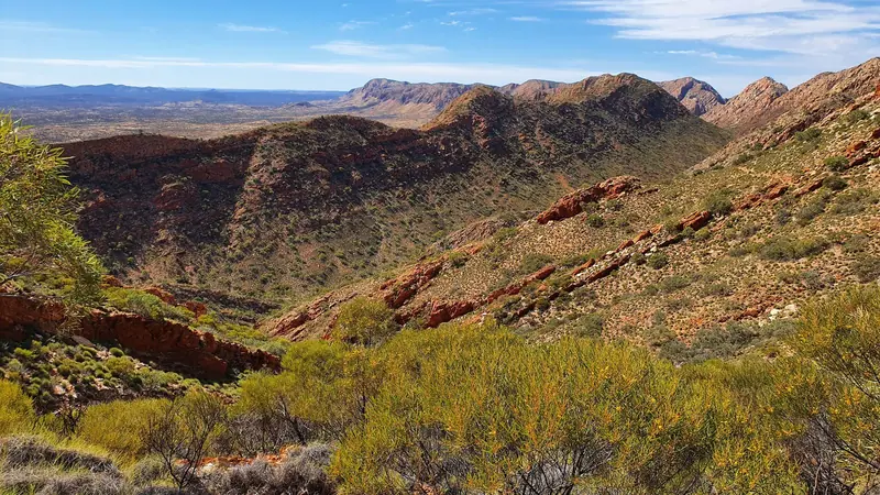
Larapinta Trail
Australia · Northern Territory · 220 km · 16 stages
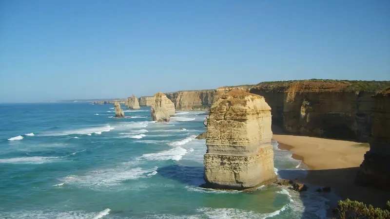
Great Ocean Walk
Australia · Victoria · 96 km · 8 stages

Three Capes Track
Australia · Tasmania · 46 km · 4 stages

Cape to Cape Track
Australia · Western Australia · 127 km · 7 stages

Tour du Mont Blanc
France · Italy · Switzerland · 166 km · 11 stages

Alta Via 1
Italy · Dolomites · 118 km · 11 stages
GR 20 · John Muir Trail · Laugavegur · Cotswold Way · Kerry Way · Camino Finisterre · West Highland Way · Walker's Haute Route · Kungsleden · Tour of Monte Rosa · Coast to Coast Walk · Pembrokeshire Coast Path · Hadrian's Wall Path · South Downs Way · Dingle Way · Wicklow Way · Fishermen's Trail · Camino Portugués · Alta Via 2 · Malerweg · Peaks of the Balkans · Lycian Way · St Paul Trail · Camino Francés · Inca Trail · W Trek · Everest Base Camp Trek · Annapurna Circuit · Kumano Kodo Nakahechi · Camino del Norte · Via Francigena · GR10 · Pennine Way · Carian Trail · Evliya Çelebi Way · Kaçkar Mountains Traverse · Phrygian Way · Sultans Trail · Mount Ararat Climb · Hittite Trail · Troy Culture Route · Independence Way · Mysia Ways · Rheinsteig · Westweg · Goldsteig · GR54 Tour des Écrins · Via Alpina · Path of the Gods · Cinque Terre Trail · Alta Via 4 · GR221 Dry Stone Route · Stubai High Trail · Milford Track · Routeburn Track · Kepler Track · Tongariro Northern Circuit · West Coast Trail · Wonderland Trail · Teton Crest Trail · Annapurna Base Camp Trek · Markha Valley Trek · Salkantay Trek · Huayhuash Circuit · Kilimanjaro Machame Route · Toubkal Circuit · Jordan Trail: Dana to Petra · Torres del Paine O Circuit · Abel Tasman Coast Track · Mestia to Ushguli Trek · Nakasendo Way · Berg Lake Trail · Skyline Trail (Jasper) · Fitz Roy & Cerro Torre Loop · Santa Cruz Trek · Otter Trail · Fish River Canyon Hiking Trail · Camino Primitivo · Camino Inglés · Eagle Walk (Adlerweg) · Berliner Höhenweg · Cape Wrath Trail · Great Glen Way · Offa's Dyke Path · Cleveland Way · Rota Vicentina Historical Way · Via Podiensis (GR 65) · Heaphy Track · Queen Charlotte Track · Rockwall Trail · Juan de Fuca Marine Trail · Quilotoa Loop · Nahuel Huapi Traverse · Ala Kul Trek · Tiger Leaping Gorge High Trail · Mount Kenya Sirimon–Chogoria Traverse · Ghorepani Poon Hill Trek · Kilimanjaro Lemosho Route · Lebanon Mountain Trail · Aladağlar Traverse · Kokoda Track · Chilkoot Trail · Lost City Trek · Choquequirao Trek · GR R2 Réunion · M'Goun Traverse
Hike it with the route in your pocket
Outest has the Overland Track route offline, with elevation, water and village points, and a trail guide you can ask about stages, weather and where to sleep.