
The World's Best Day Hikes: 12 Hikes, No Tent Needed
Some of the most famous views on Earth are only a day's walk from a car park or a bus stop. You don't need a tent, a hut booking or a week off work: just an early start, good shoes and enough water.
A day hike is a hike you start and finish on the same day, with no night on the trail. These twelve take you to volcanic lakes in New Zealand, fjord cliffs in Norway, the Amalfi Coast, the Dolomites, Mount Fuji, Table Mountain and Patagonia. For each one you'll find the distance, the time it takes, the best season and anything you need to book before you go, checked against the official park, tourism or local guide source.
Tongariro Alpine Crossing
New Zealand · North Island
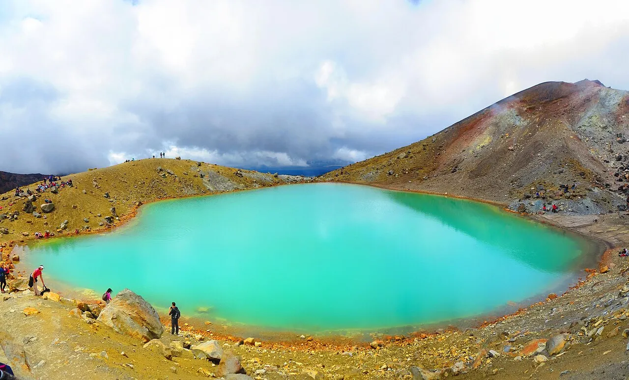
A one-way crossing of an active volcanic landscape, from Mangatepōpō to Ketetahi, over the Red Crater (1,886 m) and down past the bright Emerald Lakes. Most people use a shuttle because the start car park has a 4-hour limit. In winter it becomes an alpine route that needs an ice axe, crampons and the skills to use them, or a guide.
- Distance19.4 km one way
- Time7–8 hours
- Best seasonNovember to April
Before you go: Book a shuttle: parking at the start is limited to 4 hours
Official info: Love Taupō
Preikestolen (Pulpit Rock)
Norway · Lysefjord
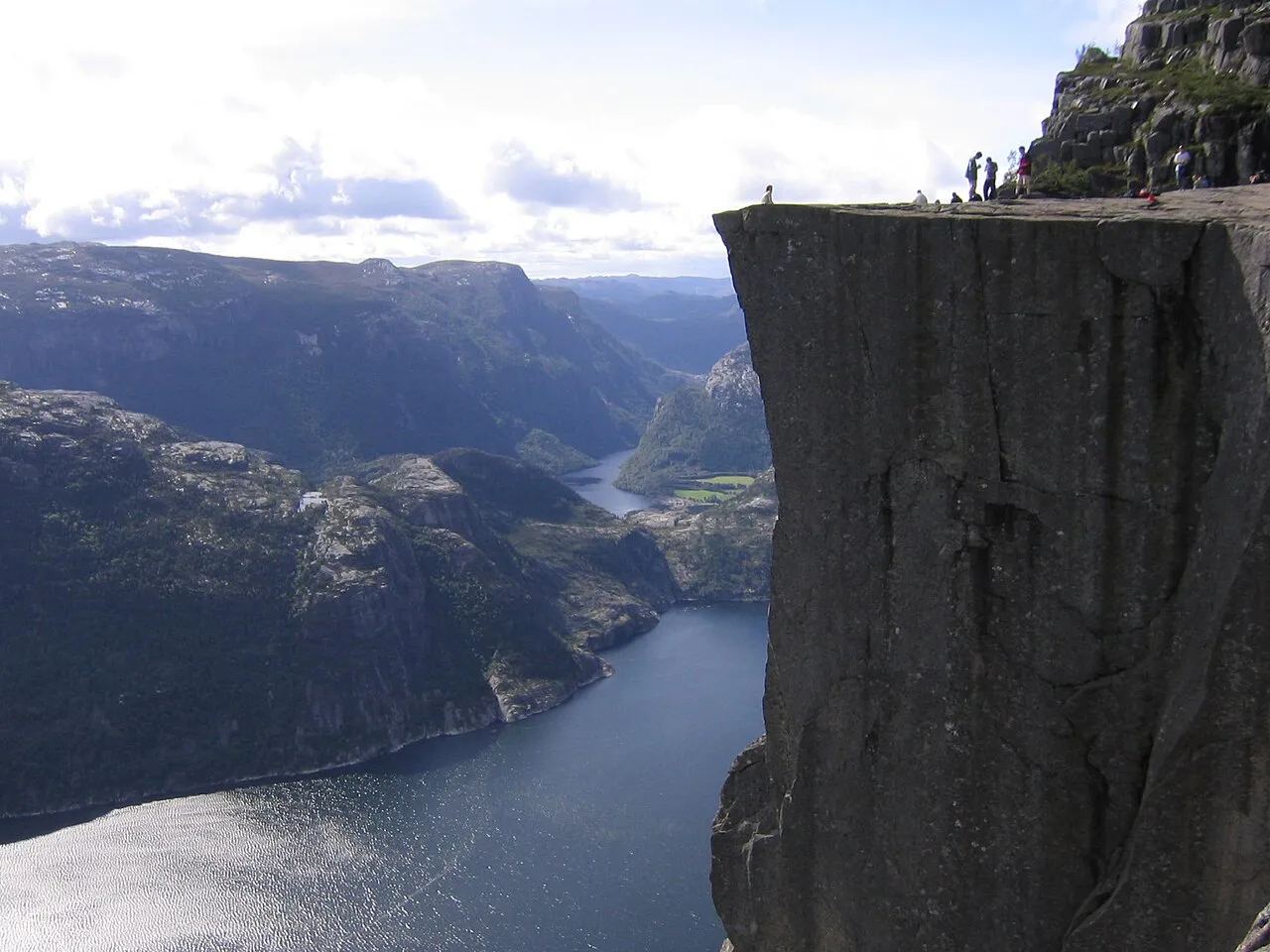
A flat granite cliff hanging 604 m above the Lysefjord, about 40 minutes from Stavanger. The path climbs around 500 m over rocky steps and boardwalk, and is busy in summer: start early or go for sunset. It is possible all year, but in winter the trail is icy.
- DistanceAbout 8 km return
- TimeAbout 4 hours
- Best seasonApril to October
Before you go: Paid car park at the trailhead; in winter go with a guide and crampons
Official info: Fjord Norway
Trolltunga
Norway · Hardanger
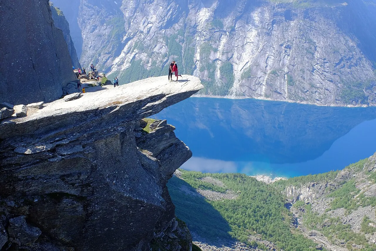
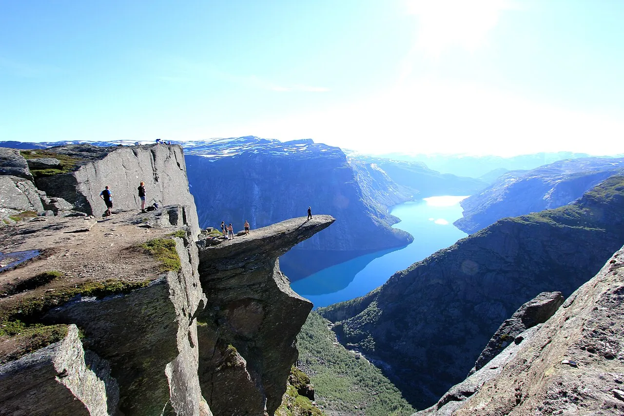
The famous rock tongue sticking out about 700 m above Lake Ringedalsvatnet. It is a long, tiring day over high mountain terrain, so start early and carry food, water and warm layers. The private P3 car park at Mågelitopp cuts a few hours off, but must be booked ahead.
- DistanceAbout 27 km return from Skjeggedal (P2)
- Time8–12 hours from P2, 7–10 from Mågelitopp (P3)
- Best seasonJune to September
Before you go: Book P3 parking in advance to shorten the hike; from October to May, go with a guide
Official info: Visit Norway
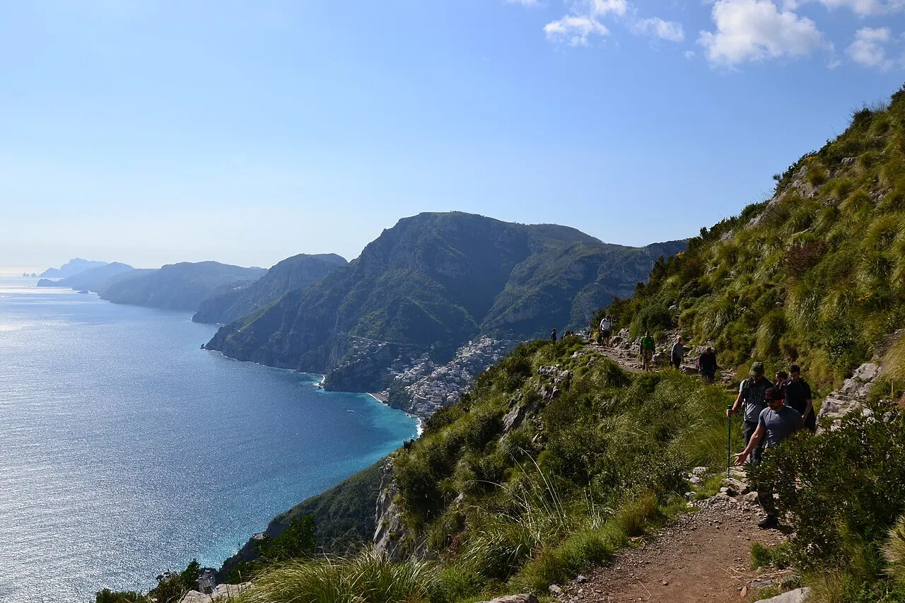
Path of the Gods (Sentiero degli Dei)
Italy · Amalfi Coast
A cliff path from Bomerano down to Nocelle, high above the Amalfi Coast with Positano and Capri in view. It runs along the cliffs at around 600 m and ends lower down at Nocelle (about 400 m), so it is mostly downhill. From Nocelle you can take the local bus or walk about 1,700 steps down to Positano. Avoid July and August: it is hot and crowded.
- DistanceAbout 7–8 km one way
- Time3–4 hours
- Best seasonApril to May, September to October
Before you go: Free, no permit. Bus to Bomerano from Amalfi
Official info: Montagna.tv
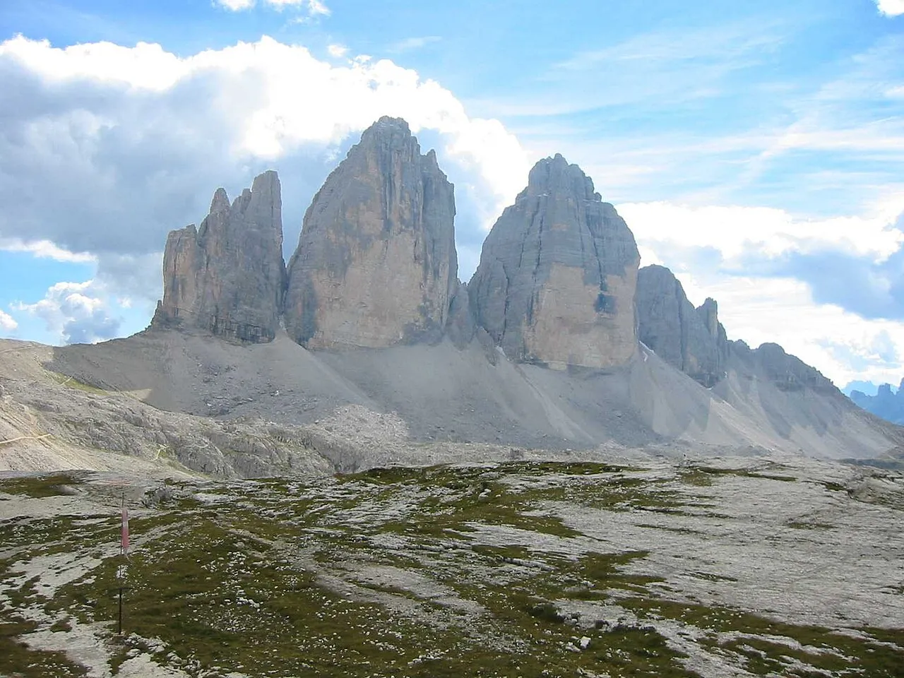
Tre Cime di Lavaredo Loop
Italy · Dolomites
An easy loop around the three most famous rock towers in the Dolomites, starting from Rifugio Auronzo and passing Rifugio Lavaredo and Rifugio Locatelli, with the classic north-face view of the Tre Cime. Because the start is already high, the climbing is gentle. Book the toll road early or come by bus.
- DistanceAbout 10 km loop
- Time3–4 hours
- Best seasonSummer to early autumn, when the toll road is open
Before you go: Toll road to Rifugio Auronzo: €40 per car, booked online in advance (2026)
Official info: Dolomiti.it
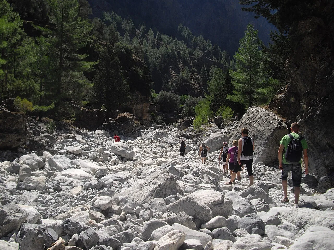
Samaria Gorge
Greece · Crete
One of Europe's longest gorges, walked downhill from Xyloskalo in the White Mountains to the sea at Agia Roumeli. The narrowest point, the Iron Gates, is only a few metres wide. Agia Roumeli has no road, so you leave by afternoon ferry to Hora Sfakion or Sougia and take a bus back to Chania.
- DistanceAbout 16 km one way
- Time5–6 hours
- Best seasonSpring to October (closed 1 November 2026 to 9 April 2027)
Before you go: Entry ticket required (e-ticket available online). Ferry back from Agia Roumeli
Official info: Samaria National Park tickets (NECCA)
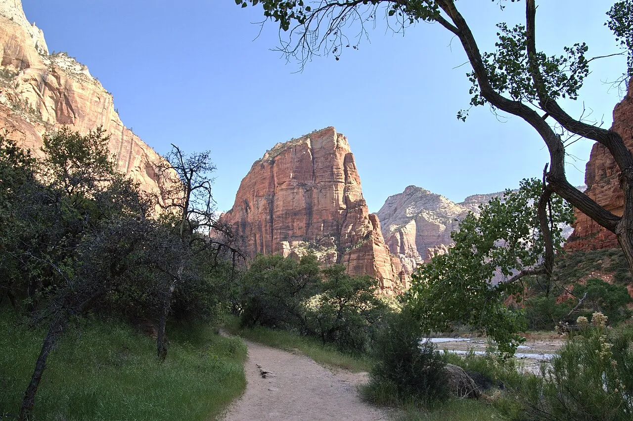
Angels Landing
USA · Zion National Park
A narrow fin of rock in Zion, climbed by switchbacks to Scout Lookout and then along a chain-assisted ridge with long drops on both sides. It climbs about 450 m and is not for people afraid of heights. You need a permit for the chains section beyond Scout Lookout; without one you can still hike up to Scout Lookout.
- DistanceAbout 8.7 km return
- Time4–5 hours
- Best seasonSpring and autumn
Before you go: Permit for the chains section, by lottery on Recreation.gov (seasonal or day-before)
Official info: US National Park Service
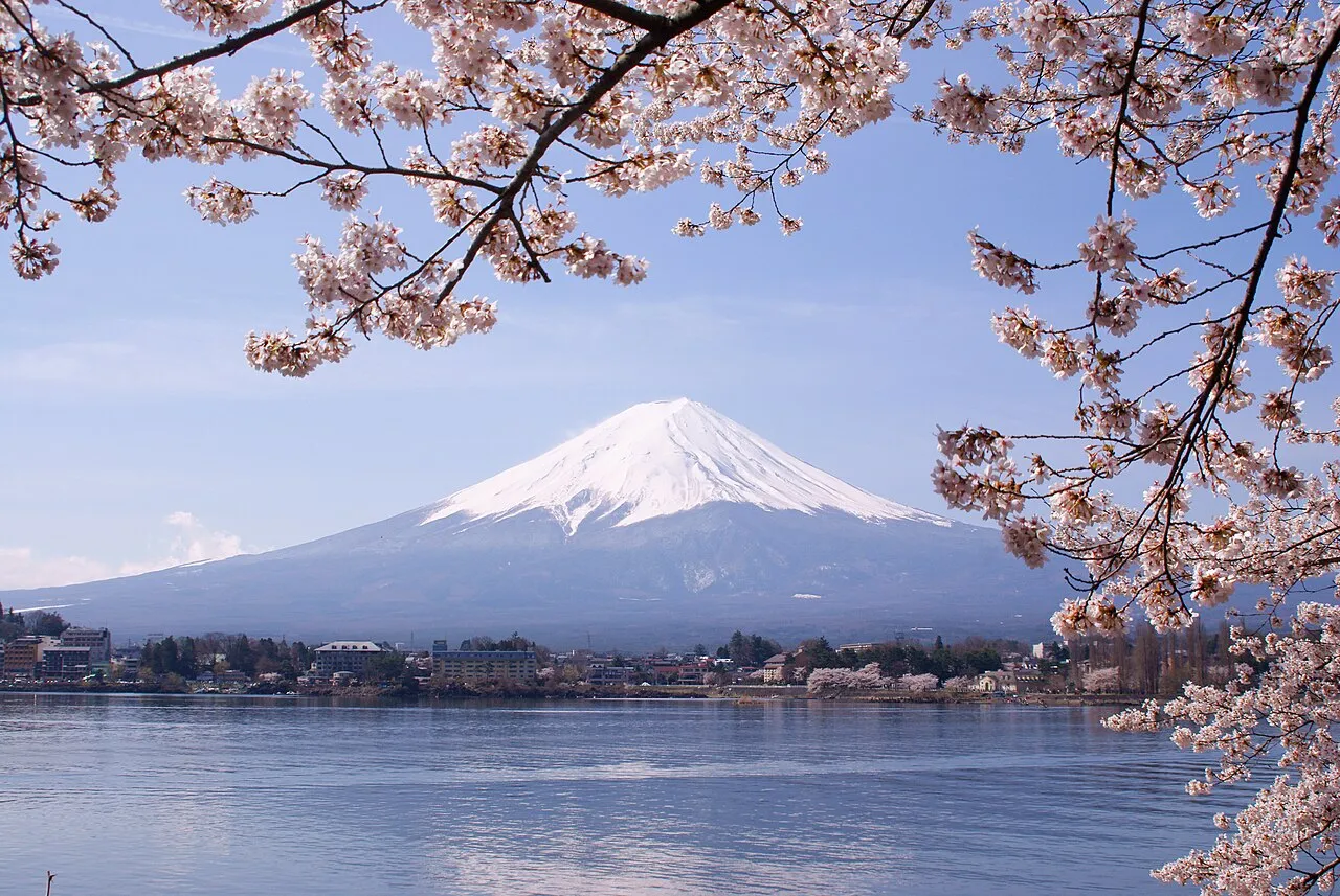
Mount Fuji (Yoshida Trail)
Japan · Yamanashi
Japan's highest peak (3,776 m), climbed from the Fuji Subaru Line 5th Station at about 2,300 m. Many people stay in a mountain hut and climb to the summit for sunrise; others do it in one long day. Altitude, cold and wind are the main challenges, so go slowly and bring warm, waterproof layers.
- DistanceAbout 1,470 m of climbing from the 5th Station
- Time5–7 hours up, 3–5 down
- Best season1 July to 10 September (2026)
Before you go: ¥4,000 hiking fee; the gate is closed 2 pm–3 am and at 4,000 climbers a day unless you booked
Official info: Official Mt. Fuji Climbing site
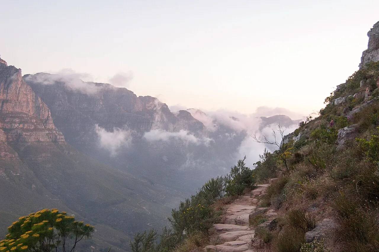
Table Mountain via Platteklip Gorge
South Africa · Cape Town
The most direct route up Cape Town's flat-topped mountain: about 650 m of steep stone steps straight up a gorge to the summit plateau, with the city and the Atlantic below. Start early to avoid the heat, and check the weather: cloud (the "tablecloth") and wind can come in fast and stop the cable car.
- DistanceAbout 5.5 km return
- Time2–3 hours
- Best seasonAll year (avoid hot midday and windy days)
Before you go: Free. The cable car is an option for the way down when it runs
Official info: Cape Town Tourism
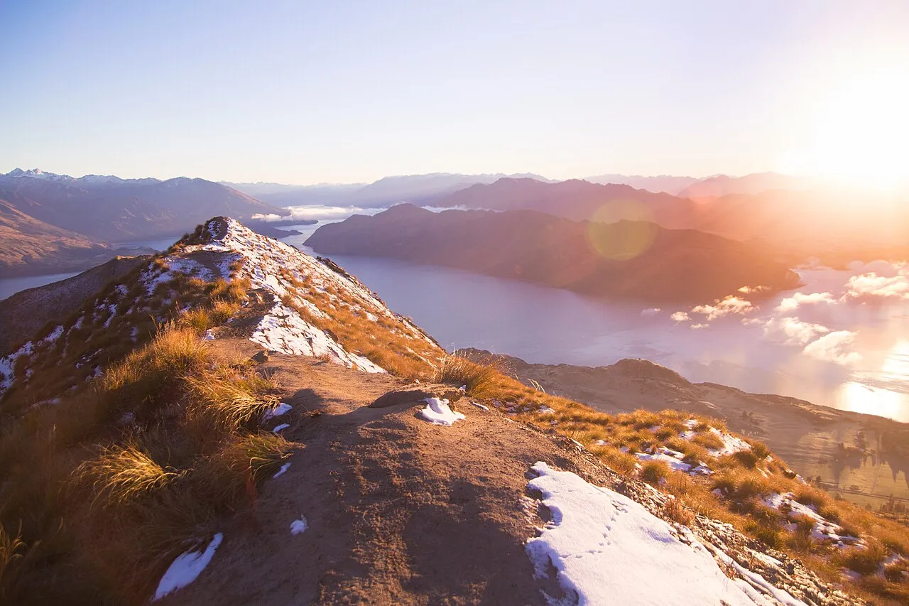
Roys Peak
New Zealand · Wānaka
A long, steady zig-zag climb of more than 1,200 m above Lake Wānaka to the summit at 1,578 m, with the famous ridge view of the lake and Mount Aspiring. There is little shade, so bring plenty of water. Above 1,000 m there is avalanche terrain in winter.
- Distance16 km return
- Time5–6 hours
- Best seasonNovember to April
Before you go: Closed every year 1 October–10 November; stay on the track (private farmland)
Official info: NZ Department of Conservation
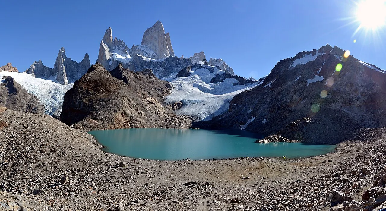
Laguna de los Tres (Fitz Roy)
Argentina · El Chaltén
The classic Patagonia day hike: through beech forest and past Laguna Capri to Poincenot camp, then a very steep final hour up to the glacier lake right under Mount Fitz Roy. Most of the climbing is in that last section. Wind can be very strong, so turn back if it is unsafe.
- DistanceUp to about 28 km return
- Time8–10 hours
- Best seasonNovember to March
Before you go: No booking needed. Starts from El Chaltén village
Official info: Chaltén Mountain Guides
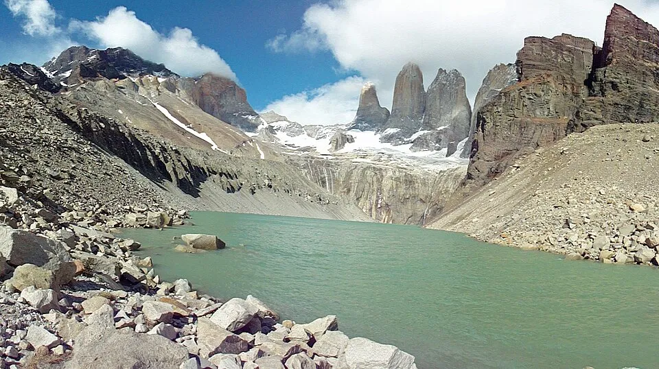
Mirador Base Las Torres
Chile · Torres del Paine
The hike to the three granite towers of Torres del Paine, climbing from about 90 m to 870 m through the Ascencio valley and a final boulder field to the lake at their base. It is the last day of the W Trek, but many people do it as a day hike from the Las Torres sector.
- DistanceAbout 20 km return
- Time6–10 hours
- Best seasonOctober to April
Before you go: Check the park's current entry and winter guide rules before you go
Official info: Torres del Paine (torresdelpaine.com)
Compare the 12 hikes
| # | Hike | Distance | Time |
|---|---|---|---|
| 1 | Tongariro Alpine Crossing | 19.4 km one way | 7–8 hours |
| 2 | Preikestolen (Pulpit Rock) | About 8 km return | About 4 hours |
| 3 | Trolltunga | About 27 km return from Skjeggedal (P2) | 8–12 hours from P2 |
| 4 | Path of the Gods (Sentiero degli Dei) | About 7–8 km one way | 3–4 hours |
| 5 | Tre Cime di Lavaredo Loop | About 10 km loop | 3–4 hours |
| 6 | Samaria Gorge | About 16 km one way | 5–6 hours |
| 7 | Angels Landing | About 8.7 km return | 4–5 hours |
| 8 | Mount Fuji (Yoshida Trail) | About 1,470 m of climbing from the 5th Station | 5–7 hours up |
| 9 | Table Mountain via Platteklip Gorge | About 5.5 km return | 2–3 hours |
| 10 | Roys Peak | 16 km return | 5–6 hours |
| 11 | Laguna de los Tres (Fitz Roy) | Up to about 28 km return | 8–10 hours |
| 12 | Mirador Base Las Torres | About 20 km return | 6–10 hours |
Which hike is for you?
- Short on time: Table Mountain via Platteklip Gorge, about 5.5 km return.
- Easiest climbing: the Tre Cime di Lavaredo loop, which starts high at Rifugio Auronzo.
- Want a big day: Trolltunga (about 27 km from P2) or Laguna de los Tres (8–10 hours).
- Going between November and March: Tongariro, Roys Peak (from 11 November), Laguna de los Tres, Base Las Torres and Table Mountain.
- Need to book ahead: Angels Landing permit, Mount Fuji fee, Tre Cime toll road, Samaria Gorge ticket.
Tips for any big day hike
- Start early. You get cooler air, quieter trails and time to turn back if the weather changes.
- Check bookings before you travel. Angels Landing, Mount Fuji, the Tre Cime toll road, Trolltunga's P3 car park and Samaria Gorge all need something booked or bought in advance.
- Carry more water than you think. Use our hiking water calculator and hiking time calculator to plan the day.
- Pack for the mountain, not the car park. A warm layer, a rain jacket, food and a head torch weigh little. Our packing checklist has a day-hike list.
- Download the map before you lose signal. In the Outest app you can save a map offline and record your hike even with no coverage.
Conditions, fees and opening dates change every year. Check the official park or tourism website before you go.
Hike it with Outest
Find day hikes and walks near you, follow them on an offline map and record your own.
More lists
- The Best Hut-to-Hut Hikes in Europe
- The World's Best Multi-Day Hikes
- The Best Treks in Turkey
- The Best Multi-Day Hikes in Europe
- The Best Long-Distance Walks in the UK and Ireland
- The Best Coastal Hikes in Europe
- The Best Hikes in Australia and New Zealand
- The Best Hikes in South America
- The Best Hikes in North America
- The Best Hikes in Africa
- The Best Treks in the Himalaya
Photos from Wikimedia Commons, used under their Creative Commons licences; the photographer and licence are credited under each image.